Ashington night lights from space
Night Light of Ashington (England) from space (United Kingdom) Src. Average luminocity for 10x10km area is 24.8747% and for 50x50km: 12.7012%.
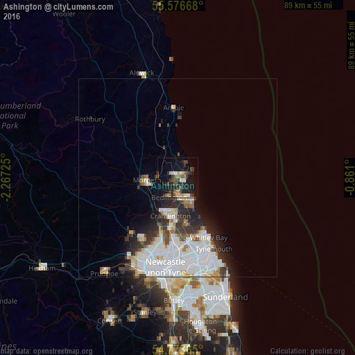
Analysis of Ashington night lights 2016
Square area 10x10 km:
 2.01%
2.01%90-99
3.01%80-89
1.13%70-79
3.63%60-69
3.13%50-59
4.51%40-49
4.89%30-39
5.39%20-29
9.77%10-19
27.44%0-9
35.09%Square area 50x50 km:
4.41%90-99
3.07%80-89
1.08%70-79
0.94%60-69
0.82%50-59
0.95%40-49
0.97%30-39
1.8%20-29
2.71%10-19
3.82%0-9
79.44%Clear (daylight) street map image can be seen on geolist.org.
Map coordinates:
55° 34' 36" North, 2° 16' 2.1" West
55° 10' 37.9" North, 1° 33' 50.8" West
54° 46' 25.1" North, 0° 51' 39.6" West
Some cities around Ashington sort by population:
• Blyth
6.6 km =4.1 mi,  147°
147°
• Cramlington
10.2 km =6.3 mi,  187°
187°
• Bedlington
5.5 km =3.4 mi,  199°
199°
• Morpeth
8 km =5 mi,  263°
263°
• Stakeford
1.9 km =1.2 mi, 201°
• Seaton Delaval
11.9 km =7.4 mi,  168°
168°
• Wideopen
15.1 km =9.4 mi, 194°
• Newbiggin-by-the-Sea
3.3 km =2.1 mi,  73°
73°
2656946 (p: 27,670)
Sources (retrieved 2019-11-25):
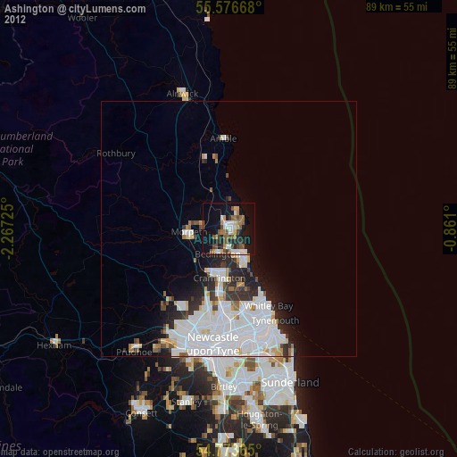
» Earth at Night: Flat Maps 2012, 2016