Cramlington night lights from space
Night Light of Cramlington (England) from space (United Kingdom) Src. Average luminocity for 10x10km area is 43.718% and for 50x50km: 19.7885%.
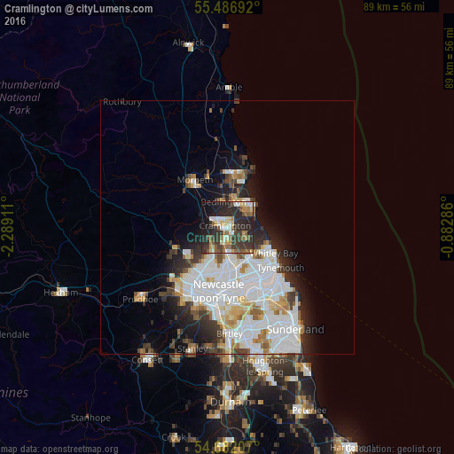
Analysis of Cramlington night lights 2016
Square area 10x10 km:
 4.01%
4.01%90-99
7.39%80-89
7.14%70-79
3.13%60-69
4.64%50-59
8.77%40-49
5.39%30-39
15.79%20-29
26.57%10-19
13.41%0-9
3.76%Square area 50x50 km:
6.91%90-99
4.74%80-89
1.66%70-79
1.52%60-69
1.58%50-59
1.67%40-49
1.42%30-39
2.57%20-29
3.92%10-19
5.4%0-9
68.61%Clear (daylight) street map image can be seen on geolist.org.
Map coordinates:
55° 29' 12.9" North, 2° 17' 20.8" West
55° 5' 11.5" North, 1° 35' 9.5" West
54° 40' 55.5" North, 0° 52' 58.3" West
Some cities around Cramlington sort by population:
• Whitley Bay
10.3 km =6.4 mi,  120°
120°
• Blyth
6.7 km =4.2 mi,  47°
47°
• Ashington
10.2 km =6.3 mi,  7°
7°
• Gosforth
9.8 km =6.1 mi,  191°
191°
• Bedlington
4.9 km =3 mi,  354°
354°
• Stakeford
8.3 km =5.2 mi,  4°
4°
• Seaton Delaval
4.1 km =2.5 mi,  113°
113°
• Wideopen
5.2 km =3.2 mi,  206°
206°
2652095 (p: 33,180)
Sources (retrieved 2019-11-25):
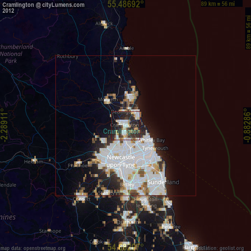
» Earth at Night: Flat Maps 2012, 2016