Alfreton night lights from space
Night Light of Alfreton (England) from space (United Kingdom) Src. Average luminocity for 10x10km area is 31.459% and for 50x50km: 26.4448%.
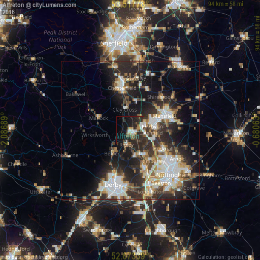
Analysis of Alfreton night lights 2016
Square area 10x10 km:
 4.37%
4.37%90-99
5.82%80-89
1.85%70-79
1.98%60-69
2.91%50-59
5.16%40-49
5.16%30-39
7.01%20-29
21.03%10-19
21.03%0-9
23.68%Square area 50x50 km:
4.95%90-99
5.47%80-89
2.62%70-79
2.34%60-69
3.01%50-59
3.28%40-49
3.44%30-39
4.92%20-29
10.34%10-19
13.8%0-9
45.81%Clear (daylight) street map image can be seen on geolist.org.
Map coordinates:
53° 31' 4" North, 2° 5' 12.8" West
53° 5' 51.6" North, 1° 23' 1.5" West
52° 40' 24.2" North, 0° 40' 50.3" West
Some cities around Alfreton sort by population:
• Sutton in Ashfield
8.7 km =5.4 mi,  69°
69°
• Kirkby in Ashfield
9.3 km =5.8 mi,  88°
88°
• Belper
10.5 km =6.5 mi,  218°
218°
• Heanor
9.5 km =5.9 mi,  167°
167°
• Ripley
7.2 km =4.5 mi,  188°
188°
• Pinxton
4.5 km =2.8 mi,  100°
100°
• Wingerworth
12.1 km =7.5 mi,  344°
344°
• Kilburn
10.9 km =6.8 mi,  199°
199°
2657508 (p: 22,550)
Sources (retrieved 2019-11-25):
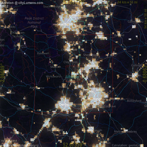
» Earth at Night: Flat Maps 2012, 2016