Kirkby in Ashfield night lights from space
Night Light of Kirkby in Ashfield (England) from space (United Kingdom) Src. Average luminocity for 10x10km area is 57.8413% and for 50x50km: 27.0487%.
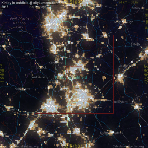
Analysis of Kirkby in Ashfield night lights 2016
Square area 10x10 km:
 14.02%
90-99
15.61%80-89
4.23%70-79
3.31%60-69
6.48%50-59
4.89%40-49
7.28%30-39
18.78%20-29
22.88%10-19
2.51%0-9
0%Square area 50x50 km:
4.99%90-99
5.54%80-89
2.66%70-79
2.45%60-69
3.22%50-59
3.44%40-49
3.45%30-39
4.9%20-29
10.34%10-19
13.73%0-9
45.29%Clear (daylight) street map image can be seen on geolist.org.
Map coordinates:
53° 31' 11.7" North, 1° 56' 48.9" West
53° 5' 59.4" North, 1° 14' 37.6" West
52° 40' 32.1" North, 0° 32' 26.4" West
Some cities around Kirkby in Ashfield sort by population:
• Mansfield
4.7 km =2.9 mi,  38°
38°
• Sutton in Ashfield
3.1 km =1.9 mi,  337°
337°
• Hucknall
8 km =5 mi,  158°
158°
• Alfreton
9.3 km =5.8 mi,  268°
268°
• Mansfield Woodhouse
8 km =5 mi,  24°
24°
• Pinxton
5 km =3.1 mi,  258°
258°
• Rainworth
8.6 km =5.3 mi,  75°
75°
• Ravenshead
5.8 km =3.6 mi,  104°
104°
2645309 (p: 27,539)
Sources (retrieved 2019-11-25):
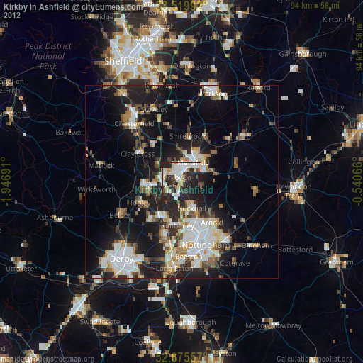
» Earth at Night: Flat Maps 2012, 2016