Ripley night lights from space
Night Light of Ripley (England) from space (United Kingdom) Src. Average luminocity for 10x10km area is 27.7143% and for 50x50km: 26.9205%.
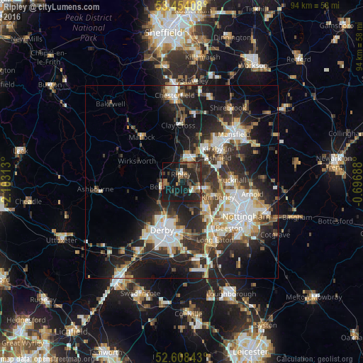
Analysis of Ripley night lights 2016
Square area 10x10 km:
 0.93%
0.93%90-99
3.04%80-89
0.79%70-79
0.93%60-69
6.08%50-59
5.03%40-49
5.95%30-39
8.86%20-29
19.97%10-19
37.04%0-9
11.38%Square area 50x50 km:
5.06%90-99
5.63%80-89
2.67%70-79
2.52%60-69
2.84%50-59
3.05%40-49
3.53%30-39
4.96%20-29
10.57%10-19
15.46%0-9
43.71%Clear (daylight) street map image can be seen on geolist.org.
Map coordinates:
53° 27' 14.7" North, 2° 6' 11.3" West
53° 1' 60" North, 1° 24' 0" West
52° 36' 30.3" North, 0° 41' 48.8" West
Some cities around Ripley sort by population:
• Ilkeston
9.2 km =5.7 mi,  139°
139°
• Belper
5.5 km =3.4 mi,  258°
258°
• Heanor
3.8 km =2.4 mi,  125°
125°
• Alfreton
7.2 km =4.5 mi,  8°
8°
• Eastwood
7.6 km =4.7 mi,  118°
118°
• Pinxton
8.4 km =5.2 mi,  40°
40°
• West Hallam
7.5 km =4.7 mi,  158°
158°
• Kilburn
4 km =2.5 mi,  220°
220°
2639325 (p: 21,097)
Sources (retrieved 2019-11-25):
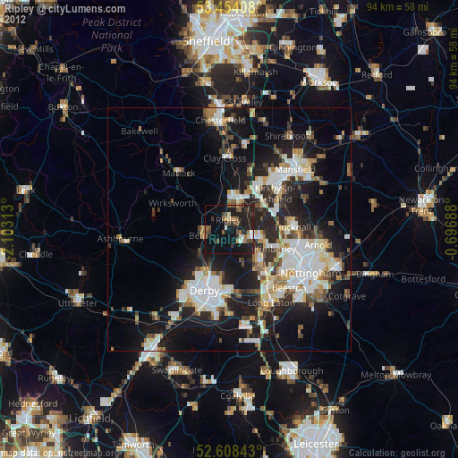
» Earth at Night: Flat Maps 2012, 2016