Belper night lights from space
Night Light of Belper (England) from space (United Kingdom) Src. Average luminocity for 10x10km area is 14.6852% and for 50x50km: 25.5684%.
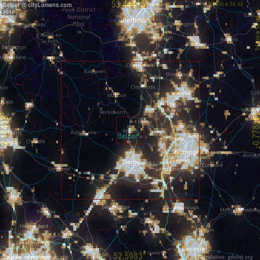
Analysis of Belper night lights 2016
Square area 10x10 km:
 0.13%
0.13%90-99
1.06%80-89
0.93%70-79
0.53%60-69
3.04%50-59
2.51%40-49
2.78%30-39
3.17%20-29
3.97%10-19
32.41%0-9
49.47%Square area 50x50 km:
5%90-99
5.51%80-89
2.53%70-79
2.39%60-69
2.76%50-59
2.65%40-49
3.19%30-39
4.6%20-29
9.9%10-19
14.57%0-9
46.89%Clear (daylight) street map image can be seen on geolist.org.
Map coordinates:
53° 26' 38.9" North, 2° 11' 3.6" West
53° 1' 23.9" North, 1° 28' 52.3" West
52° 35' 53.9" North, 0° 46' 41" West
Some cities around Belper sort by population:
• Derby
11.2 km =7 mi,  178°
178°
• Heanor
8.6 km =5.3 mi,  97°
97°
• Alfreton
10.5 km =6.5 mi,  38°
38°
• Ripley
5.5 km =3.4 mi,  78°
78°
• Eastwood
12.4 km =7.7 mi, 102°
• West Hallam
10.1 km =6.3 mi,  125°
125°
• Kilburn
3.4 km =2.1 mi,  124°
124°
• Wirksworth
9 km =5.6 mi,  316°
316°
2655942 (p: 23,417)
Sources (retrieved 2019-11-25):
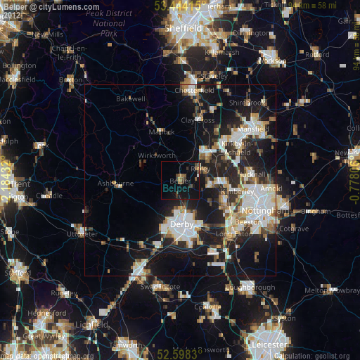
» Earth at Night: Flat Maps 2012, 2016