Tchibanga night lights from space
Night Light of Tchibanga (Nyanga) from space (Gabon) Src. Average luminocity for 10x10km area is 0% and for 50x50km: 0%.
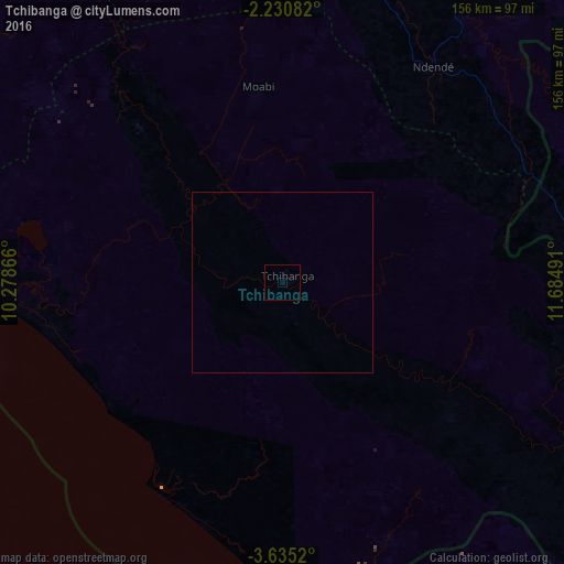
Analysis of Tchibanga night lights 2016
Square area 10x10 km:
 0%
0%90-99
0%80-89
0%70-79
0%60-69
0%50-59
0%40-49
0%30-39
0%20-29
0%10-19
0%0-9
100%Square area 50x50 km:
0%90-99
0%80-89
0%70-79
0%60-69
0%50-59
0%40-49
0%30-39
0%20-29
0%10-19
0%0-9
100%Clear (daylight) street map image can be seen on geolist.org.
Map coordinates:
2° 13' 51" South, 10° 16' 43.2" East
2° 55' 59.6" South, 10° 58' 54.4" East
3° 38' 6.7" South, 11° 41' 5.7" East
Some cities around Tchibanga sort by population:
• Pointe-Noire, CG
227.1 km =141.1 mi,  154°
154°
• Loandjili, CG
224.8 km =139.7 mi, 154°
• Mouila
118.7 km =73.8 mi,  3°
3°
• Mossendjo, CG
191.3 km =118.9 mi,  90°
90°
• Gamba
113.5 km =70.5 mi,  286°
286°
• Ndendé
72.5 km =45 mi,  35°
35°
• Fougamou
196.1 km =121.9 mi,  346°
346°
• Loango, CG
212.2 km =131.9 mi, 154°
2396253 (p: 19,365)
Sources (retrieved 2019-11-25):
» Earth at Night: Flat Maps 2012, 2016