Mouila night lights from space
Night Light of Mouila (Ngouni) from space (Gabon) Src. Average luminocity for 10x10km area is 0.158% and for 50x50km: 0.2896%.
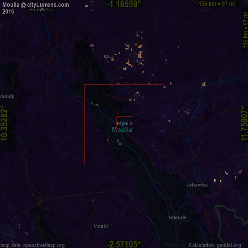
Analysis of Mouila night lights 2016
Square area 10x10 km:
 0%
0%90-99
0%80-89
0%70-79
0%60-69
0%50-59
0%40-49
0%30-39
0%20-29
0%10-19
0.87%0-9
99.13%Square area 50x50 km:
0%90-99
0%80-89
0%70-79
0%60-69
0%50-59
0.03%40-49
0.09%30-39
0.17%20-29
0.26%10-19
0.4%0-9
99.05%Clear (daylight) street map image can be seen on geolist.org.
Map coordinates:
1° 9' 56.1" South, 10° 21' 10.2" East
1° 52' 6.5" South, 11° 3' 21.4" East
2° 34' 15.8" South, 11° 45' 32.7" East
Some cities around Mouila sort by population:
• Lambaréné
158.4 km =98.4 mi,  325°
325°
• Tchibanga
118.7 km =73.8 mi,  183°
183°
• Koulamoutou
176.4 km =109.6 mi,  62°
62°
• Gamba
146 km =90.7 mi,  233°
233°
• Lastoursville
217.7 km =135.3 mi, 57°
• Ndendé
68 km =42.3 mi,  150°
150°
• Fougamou
89.6 km =55.7 mi,  324°
324°
• Ndjolé
190.7 km =118.5 mi,  350°
350°
2398073 (p: 22,469)
Sources (retrieved 2019-11-25):
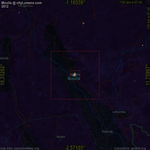
» Earth at Night: Flat Maps 2012, 2016