Mossendjo night lights from space
Night Light of Mossendjo (Niari) from space (Republic of the Congo) Src. Average luminocity for 10x10km area is 2.1017% and for 50x50km: 0.9726%.
Analysis of Mossendjo night lights 2016
Square area 10x10 km:
 0%
0%90-99
0%80-89
0%70-79
0%60-69
0%50-59
0%40-49
0%30-39
1.3%20-29
2.16%10-19
6.06%0-9
90.48%Square area 50x50 km:
0%90-99
0%80-89
0.03%70-79
0%60-69
0%50-59
0.13%40-49
0.36%30-39
0.67%20-29
1%10-19
0.61%0-9
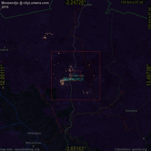
97.19%Clear (daylight) street map image can be seen on geolist.org.
Map coordinates:
2° 14' 50.2" South, 12° 0' 4" East
2° 56' 58.8" South, 12° 42' 15.2" East
3° 39' 5.9" South, 13° 24' 26.5" East
Some cities around Mossendjo sort by population:
• Dolisie
138.9 km =86.3 mi,  181°
181°
• Kayes
153.8 km =95.6 mi,  155°
155°
• Franceville, GA
176 km =109.4 mi,  33°
33°
• Moanda, GA
163.3 km =101.5 mi,  19°
19°
• Madingou
163.5 km =101.6 mi,  144°
144°
• Sibiti
108.5 km =67.4 mi, 138°
• Mounana, GA
178.6 km =111 mi, 16°
• Ndendé, GA
161.5 km =100.4 mi,  292°
292°
2256895 (p: 18,231)
Sources (retrieved 2019-11-25):
» Earth at Night: Flat Maps 2012, 2016