Ndendé night lights from space
Night Light of Ndendé (Ngouni) from space (Gabon) Src. Average luminocity for 10x10km area is 0% and for 50x50km: 0.0552%.
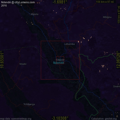
Analysis of Ndendé night lights 2016
Square area 10x10 km:
 0%
0%90-99
0%80-89
0%70-79
0%60-69
0%50-59
0%40-49
0%30-39
0%20-29
0%10-19
0%0-9
100%Square area 50x50 km:
0%90-99
0%80-89
0.03%70-79
0.04%60-69
0%50-59
0%40-49
0%30-39
0%20-29
0%10-19
0%0-9
99.93%Clear (daylight) street map image can be seen on geolist.org.
Map coordinates:
1° 41' 53.2" South, 10° 39' 18" East
2° 24' 2.8" South, 11° 21' 29.3" East
3° 6' 11.1" South, 12° 3' 40.5" East
Some cities around Ndendé sort by population:
• Moanda
224.6 km =139.6 mi,  65°
65°
• Mouila
68 km =42.3 mi,  330°
330°
• Lambaréné
226.2 km =140.6 mi, 326°
• Tchibanga
72.5 km =45 mi,  215°
215°
• Mossendjo, CG
161.5 km =100.4 mi,  112°
112°
• Koulamoutou
186.7 km =116 mi,  41°
41°
• Gamba
153.4 km =95.3 mi,  259°
259°
• Fougamou
157.4 km =97.8 mi, 326°
2397614 (p: 6,200)
Sources (retrieved 2019-11-25):
» Earth at Night: Flat Maps 2012, 2016