Pointe-Noire night lights from space
Night Light of Pointe-Noire from space (Republic of the Congo) Src. Average luminocity for 10x10km area is 84.7149% and for 50x50km: 12.3432%.
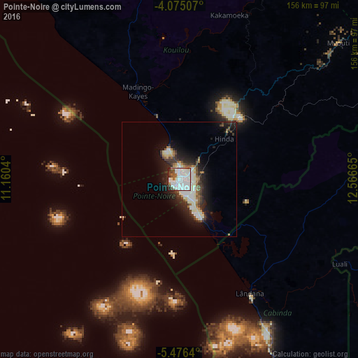

Analysis of Pointe-Noire night lights 2016
Square area 10x10 km:
 45.04%
90-99
27.27%80-89
2.48%70-79
1.45%60-69
2.89%50-59
3.31%40-49
7.02%30-39
4.75%20-29
5.58%10-19
0.21%0-9
0%Square area 50x50 km:
2.68%90-99
3.51%80-89
0.9%70-79
0.56%60-69
0.99%50-59
1.09%40-49
1.52%30-39
2%20-29
3.81%10-19
6.96%0-9
75.99%Clear (daylight) street map image can be seen on geolist.org.
Map coordinates:
4° 4' 30.3" South, 11° 9' 37.4" East
4° 46' 33.9" South, 11° 51' 48.7" East
5° 28' 35" South, 12° 33' 59.9" East
Some cities around Pointe-Noire sort by population:
• Dolisie
109.8 km =68.2 mi,  54°
54°
• Soio, AO
161.1 km =100.1 mi,  159°
159°
• Cabinda, AO
93.8 km =58.3 mi, 156°
• Kayes
170 km =105.6 mi,  68°
68°
• Moanda, CD
139.8 km =86.9 mi, 156°
• Tshela, CD
122.7 km =76.2 mi,  101°
101°
• Loandjili
2.3 km =1.4 mi,  344°
344°
• Loango
14.9 km =9.3 mi, 337°
2255414 (p: 659,084)
Sources (retrieved 2019-11-25):
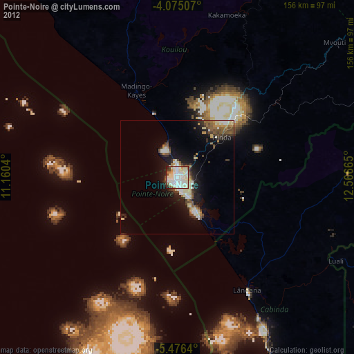
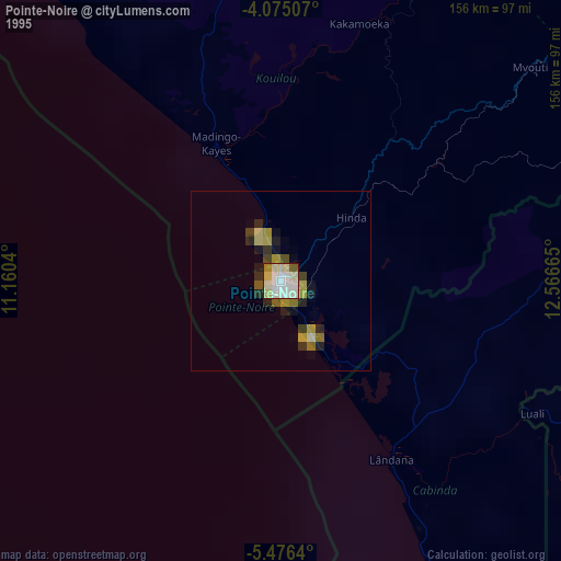
» NASA, Earths city lights 1995
» NASA city lights 2003
» Earth at Night: Flat Maps 2012, 2016