Koulamoutou night lights from space
Night Light of Koulamoutou (Ogooué-Lolo) from space (Gabon) Src. Average luminocity for 10x10km area is 3.0303% and for 50x50km: 0.1211%.
Analysis of Koulamoutou night lights 2016
Square area 10x10 km:
 0%
0%90-99
0%80-89
0%70-79
2.6%60-69
0.87%50-59
0%40-49
0%30-39
0%20-29
0%10-19
0.87%0-9
95.67%Square area 50x50 km:
0%90-99
0%80-89
0%70-79
0.1%60-69
0.03%50-59
0%40-49
0%30-39
0%20-29
0%10-19
0.03%0-9
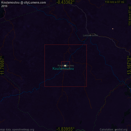
99.83%Clear (daylight) street map image can be seen on geolist.org.
Map coordinates:
0° 26' 1" South, 11° 45' 39.1" East
1° 8' 12" South, 12° 27' 50.4" East
1° 50' 22.4" South, 13° 10' 1.6" East
Some cities around Koulamoutou sort by population:
• Franceville
136.2 km =84.6 mi,  113°
113°
• Moanda
94.6 km =58.8 mi,  120°
120°
• Mouila
176.4 km =109.6 mi,  242°
242°
• Mounana
82.9 km =51.5 mi, 111°
• Lastoursville
44.7 km =27.8 mi,  37°
37°
• Okondja
144.9 km =90 mi,  68°
68°
• Ndendé
186.7 km =116 mi,  221°
221°
• Booué
130 km =80.8 mi,  333°
333°
2399959 (p: 16,222)
Sources (retrieved 2019-11-25):
» Earth at Night: Flat Maps 2012, 2016