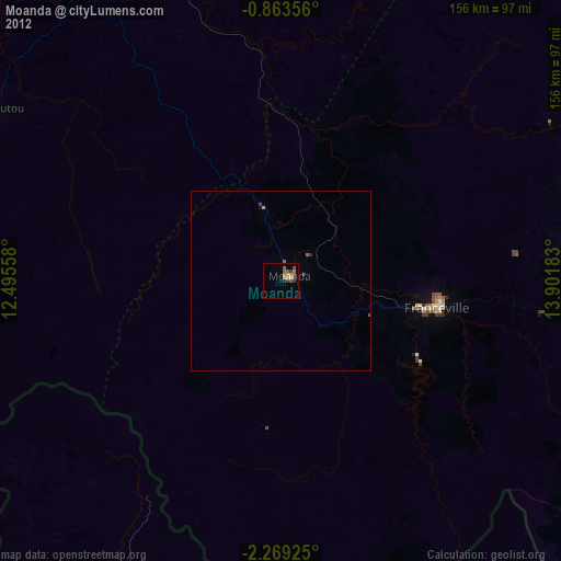
Moanda night lights from space
Night Light of Moanda (Haut-Ogooué) from space (Gabon) Src. Average luminocity for 10x10km area is 11.6494% and for 50x50km: 0.6404%.
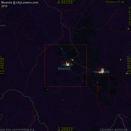
Analysis of Moanda night lights 2016
Square area 10x10 km:
 1.3%
1.3%90-99
0.65%80-89
0.87%70-79
1.52%60-69
4.76%50-59
3.03%40-49
0%30-39
1.95%20-29
1.73%10-19
1.52%0-9
82.68%Square area 50x50 km:
0.05%90-99
0.03%80-89
0.07%70-79
0.07%60-69
0.22%50-59
0.12%40-49
0.03%30-39
0.12%20-29
0.13%10-19
0.1%0-9
99.07%Clear (daylight) street map image can be seen on geolist.org.
Map coordinates:
0° 51' 48.8" South, 12° 29' 44.1" East
1° 33' 59.5" South, 13° 11' 55.3" East
2° 16' 9.3" South, 13° 54' 6.6" East
Some cities around Moanda sort by population:
• Franceville
43.4 km =27 mi,  99°
99°
• Mossendjo, CG
163.3 km =101.5 mi,  199°
199°
• Koulamoutou
94.6 km =58.8 mi,  300°
300°
• Djambala, CG
204.1 km =126.8 mi,  122°
122°
• Mounana
18.1 km =11.2 mi,  345°
345°
• Lastoursville
99.6 km =61.9 mi,  326°
326°
• Okondja
114.4 km =71.1 mi,  27°
27°
• Ewo, CG
196.1 km =121.9 mi,  66°
66°
2398269 (p: 30,151)
Sources (retrieved 2019-11-25):
» Earth at Night: Flat Maps 2012, 2016