Mounana night lights from space
Night Light of Mounana (Haut-Ogooué) from space (Gabon) Src. Average luminocity for 10x10km area is 0.3117% and for 50x50km: 0.6349%.
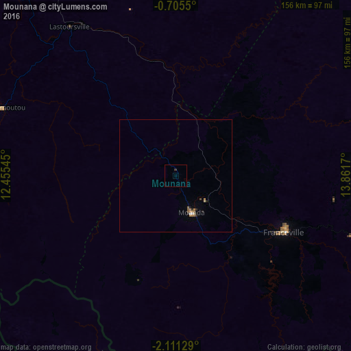
Analysis of Mounana night lights 2016
Square area 10x10 km:
 0%
0%90-99
0%80-89
0%70-79
0%60-69
0%50-59
0%40-49
0%30-39
0.87%20-29
0%10-19
0%0-9
99.13%Square area 50x50 km:
0.05%90-99
0.03%80-89
0.07%70-79
0.07%60-69
0.22%50-59
0.12%40-49
0.03%30-39
0.12%20-29
0.13%10-19
0.06%0-9
99.1%Clear (daylight) street map image can be seen on geolist.org.
Map coordinates:
0° 42' 19.8" South, 12° 27' 19.6" East
1° 24' 30.6" South, 13° 9' 30.9" East
2° 6' 40.6" South, 13° 51' 42.1" East
Some cities around Mounana sort by population:
• Franceville
53.4 km =33.2 mi,  117°
117°
• Moanda
18.1 km =11.2 mi,  165°
165°
• Mossendjo, CG
178.6 km =111 mi,  196°
196°
• Koulamoutou
82.9 km =51.5 mi,  291°
291°
• Lastoursville
82.6 km =51.3 mi,  322°
322°
• Okondja
101.6 km =63.1 mi,  34°
34°
• Booué
199.6 km =124 mi, 317°
• Ewo, CG
194.1 km =120.6 mi,  72°
72°
2397978 (p: 8,780)
Sources (retrieved 2019-11-25):
» Earth at Night: Flat Maps 2012, 2016