Ewo night lights from space
Night Light of Ewo (Cuvette-Ouest) from space (Republic of the Congo) Src. Average luminocity for 10x10km area is 0% and for 50x50km: 0%.
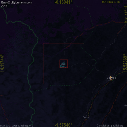
Analysis of Ewo night lights 2016
Square area 10x10 km:
 0%
0%90-99
0%80-89
0%70-79
0%60-69
0%50-59
0%40-49
0%30-39
0%20-29
0%10-19
0%0-9
100%Square area 50x50 km:
0%90-99
0%80-89
0%70-79
0%60-69
0%50-59
0%40-49
0%30-39
0%20-29
0%10-19
0%0-9
100%Clear (daylight) street map image can be seen on geolist.org.
Map coordinates:
0° 10' 9.9" South, 14° 7' 2.8" East
0° 52' 21" South, 14° 49' 14" East
1° 34' 31.7" South, 15° 31' 25.3" East
Some cities around Ewo sort by population:
• Franceville, GA
161.4 km =100.3 mi,  238°
238°
• Moanda, GA
196.1 km =121.9 mi,  246°
246°
• Owando
127.6 km =79.3 mi,  70°
70°
• Gamboma
161 km =100 mi,  133°
133°
• Makoua
133.1 km =82.7 mi,  42°
42°
• Djambala
186.1 km =115.6 mi,  182°
182°
• Mounana, GA
194.1 km =120.6 mi, 252°
• Okondja, GA
129.6 km =80.5 mi,  280°
280°
2260009 (p: 4,923)
Sources (retrieved 2019-11-25):
» Earth at Night: Flat Maps 2012, 2016