Okondja night lights from space
Night Light of Okondja (Haut-Ogooué) from space (Gabon) Src. Average luminocity for 10x10km area is 0% and for 50x50km: 0%.
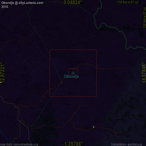
Analysis of Okondja night lights 2016
Square area 10x10 km:
 0%
0%90-99
0%80-89
0%70-79
0%60-69
0%50-59
0%40-49
0%30-39
0%20-29
0%10-19
0%0-9
100%Square area 50x50 km:
0%90-99
0%80-89
0%70-79
0%60-69
0%50-59
0%40-49
0%30-39
0%20-29
0%10-19
0%0-9
100%Clear (daylight) street map image can be seen on geolist.org.
Map coordinates:
0° 2' 53.7" North, 12° 58' 20" East
0° 39' 17.5" South, 13° 40' 31.2" East
1° 21' 28.4" South, 14° 22' 42.5" East
Some cities around Okondja sort by population:
• Franceville
109.3 km =67.9 mi,  185°
185°
• Moanda
114.4 km =71.1 mi,  207°
207°
• Koulamoutou
144.9 km =90 mi,  248°
248°
• Makokou
163.7 km =101.7 mi,  326°
326°
• Mounana
101.6 km =63.1 mi, 214°
• Lastoursville
109 km =67.7 mi,  260°
260°
• Booué
203 km =126.1 mi,  287°
287°
• Ewo, CG
129.6 km =80.5 mi,  100°
100°
2396898 (p: 7,155)
Sources (retrieved 2019-11-25):
» Earth at Night: Flat Maps 2012, 2016