Franceville night lights from space
Night Light of Franceville (Haut-Ogooué) from space (Gabon) Src. Average luminocity for 10x10km area is 17.4394% and for 50x50km: 0.8102%.
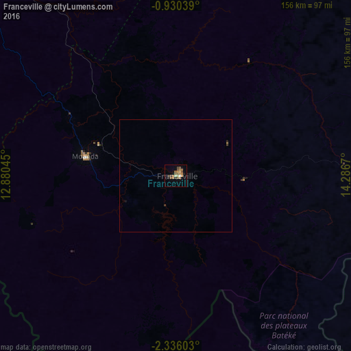
Analysis of Franceville night lights 2016
Square area 10x10 km:
 0%
0%90-99
0.87%80-89
2.6%70-79
2.6%60-69
7.58%50-59
3.9%40-49
3.03%30-39
1.08%20-29
1.3%10-19
2.6%0-9
74.46%Square area 50x50 km:
0%90-99
0.03%80-89
0.1%70-79
0.1%60-69
0.3%50-59
0.19%40-49
0.12%30-39
0.11%20-29
0.08%10-19
0.15%0-9
98.81%Clear (daylight) street map image can be seen on geolist.org.
Map coordinates:
0° 55' 49.4" South, 12° 52' 49.6" East
1° 37' 60" South, 13° 35' 0.9" East
2° 20' 9.7" South, 14° 17' 12.1" East
Some cities around Franceville sort by population:
• Moanda
43.4 km =27 mi,  279°
279°
• Mossendjo, CG
176 km =109.4 mi,  213°
213°
• Koulamoutou
136.2 km =84.6 mi,  293°
293°
• Djambala, CG
164.8 km =102.4 mi,  127°
127°
• Mounana
53.4 km =33.2 mi,  297°
297°
• Lastoursville
133 km =82.6 mi,  312°
312°
• Okondja
109.3 km =67.9 mi,  5°
5°
• Ewo, CG
161.4 km =100.3 mi,  58°
58°
2400555 (p: 42,967)
Sources (retrieved 2019-11-25):
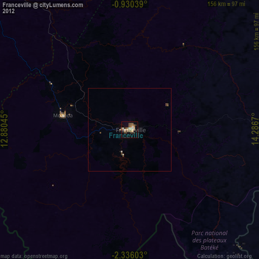
» Earth at Night: Flat Maps 2012, 2016