Booué night lights from space
Night Light of Booué (Ogooué-Ivindo) from space (Gabon) Src. Average luminocity for 10x10km area is 0% and for 50x50km: 0%.
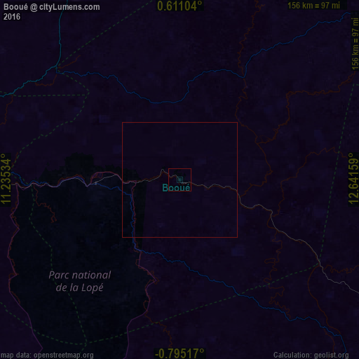
Analysis of Booué night lights 2016
Square area 10x10 km:
 0%
0%90-99
0%80-89
0%70-79
0%60-69
0%50-59
0%40-49
0%30-39
0%20-29
0%10-19
0%0-9
100%Square area 50x50 km:
0%90-99
0%80-89
0%70-79
0%60-69
0%50-59
0%40-49
0%30-39
0%20-29
0%10-19
0%0-9
100%Clear (daylight) street map image can be seen on geolist.org.
Map coordinates:
0° 36' 39.7" North, 11° 14' 7.2" East
0° 5' 31.5" South, 11° 56' 18.5" East
0° 47' 42.6" South, 12° 38' 29.7" East
Some cities around Booué sort by population:
• Oyem
192.3 km =119.5 mi,  348°
348°
• Koulamoutou
130 km =80.8 mi,  153°
153°
• Makokou
126.8 km =78.8 mi,  54°
54°
• Aconibe, GQ
190.4 km =118.3 mi,  324°
324°
• Mounana
199.6 km =124 mi,  137°
137°
• Lastoursville
117.6 km =73.1 mi,  133°
133°
• Fougamou
195.7 km =121.6 mi,  230°
230°
• Ndjolé
130.8 km =81.3 mi,  265°
265°
2401495 (p: 5,787)
Sources (retrieved 2019-11-25):
» Earth at Night: Flat Maps 2012, 2016