Lastoursville night lights from space
Night Light of Lastoursville (Ogooué-Lolo) from space (Gabon) Src. Average luminocity for 10x10km area is 0.4416% and for 50x50km: 0.0265%.
Analysis of Lastoursville night lights 2016
Square area 10x10 km:
 0%
0%90-99
0%80-89
0%70-79
0%60-69
0%50-59
0%40-49
0.87%30-39
0%20-29
0%10-19
0%0-9
99.13%Square area 50x50 km:
0%90-99
0%80-89
0%70-79
0%60-69
0%50-59
0%40-49
0.03%30-39
0%20-29
0%10-19
0.03%0-9
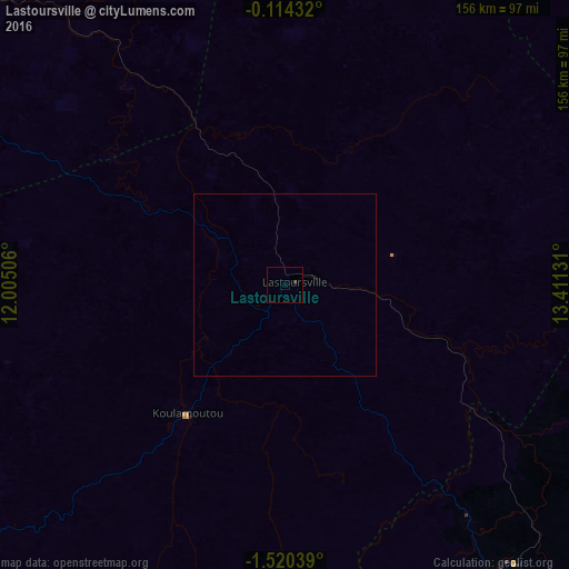
99.93%Clear (daylight) street map image can be seen on geolist.org.
Map coordinates:
0° 6' 51.6" South, 12° 0' 18.2" East
0° 49' 2.7" South, 12° 42' 29.4" East
1° 31' 13.4" South, 13° 24' 40.7" East
Some cities around Lastoursville sort by population:
• Franceville
133 km =82.6 mi,  132°
132°
• Moanda
99.6 km =61.9 mi,  146°
146°
• Mouila
217.7 km =135.3 mi,  237°
237°
• Koulamoutou
44.7 km =27.8 mi,  217°
217°
• Makokou
155.7 km =96.7 mi,  6°
6°
• Mounana
82.6 km =51.3 mi,  142°
142°
• Okondja
109 km =67.7 mi,  80°
80°
• Booué
117.6 km =73.1 mi,  313°
313°
2399870 (p: 8,340)
Sources (retrieved 2019-11-25):
» Earth at Night: Flat Maps 2012, 2016