Djambala night lights from space
Night Light of Djambala (Plateaux) from space (Republic of the Congo) Src. Average luminocity for 10x10km area is 6.5649% and for 50x50km: 0.2651%.
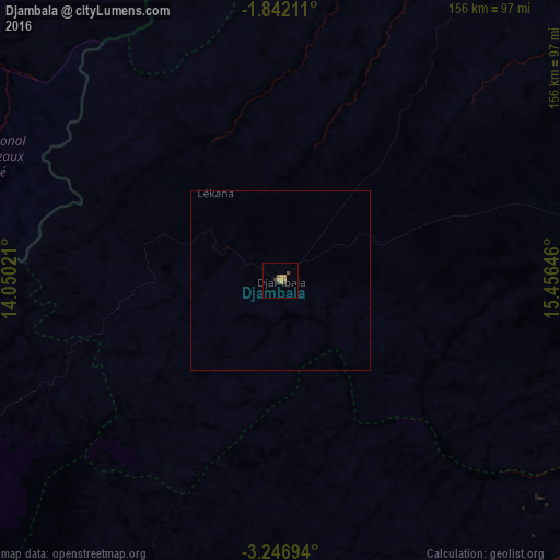
Analysis of Djambala night lights 2016
Square area 10x10 km:
 0%
0%90-99
0%80-89
0.22%70-79
3.25%60-69
1.73%50-59
0.87%40-49
1.73%30-39
1.08%20-29
0.65%10-19
0%0-9
90.48%Square area 50x50 km:
0%90-99
0%80-89
0.01%70-79
0.13%60-69
0.07%50-59
0.03%40-49
0.07%30-39
0.04%20-29
0.03%10-19
0%0-9
99.62%Clear (daylight) street map image can be seen on geolist.org.
Map coordinates:
1° 50' 31.6" South, 14° 3' 0.8" East
2° 32' 41" South, 14° 45' 12" East
3° 14' 49" South, 15° 27' 23.3" East
Some cities around Djambala sort by population:
• Brazzaville
200.2 km =124.4 mi,  162°
162°
• Franceville, GA
164.8 km =102.4 mi,  307°
307°
• Moanda, GA
204.1 km =126.8 mi,  302°
302°
• Bolobo, CD
169.9 km =105.6 mi,  75°
75°
• Gamboma
144.1 km =89.5 mi,  58°
58°
• Sibiti
200.7 km =124.7 mi,  230°
230°
• Kinkala
202 km =125.5 mi,  179°
179°
• Ewo
186.1 km =115.6 mi,  2°
2°
2260401 (p: 9,650)
Sources (retrieved 2019-11-25):
» Earth at Night: Flat Maps 2012, 2016