Versailles night lights from space
Night Light of Versailles (Île-de-France) from space (France) Src. Average luminocity for 10x10km area is 79.0028% and for 50x50km: 64.602%.
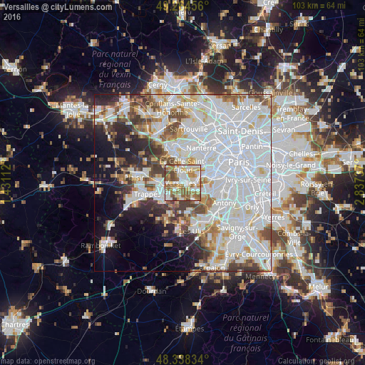
Analysis of Versailles night lights 2016
Square area 10x10 km:
 20.74%
90-99
21.59%80-89
9.23%70-79
9.23%60-69
18.75%50-59
12.78%40-49
7.24%30-39
0.43%20-29
0%10-19
0%0-9
0%Square area 50x50 km:
29.27%90-99
16.01%80-89
4.75%70-79
4.56%60-69
4.91%50-59
4.34%40-49
5.44%30-39
4.28%20-29
5.25%10-19
8.33%0-9
12.86%Clear (daylight) street map image can be seen on geolist.org.
Map coordinates:
49° 15' 52.4" North, 1° 25' 52" East
48° 48' 12.9" North, 2° 8' 3.3" East
48° 20' 18" North, 2° 50' 14.5" East
Some cities around Versailles sort by population:
• Le Chesnay
2.3 km =1.4 mi,  336°
336°
• Vélizy-Villacoublay
5 km =3.1 mi,  118°
118°
• Chaville
4 km =2.5 mi,  86°
86°
• Saint-Cyr-l’École
4.9 km =3 mi,  263°
263°
• Viroflay
2 km =1.2 mi,  98°
98°
• Ville-d’Avray
4.8 km =3 mi,  62°
62°
• Vaucresson
4.4 km =2.7 mi,  21°
21°
• Buc
3.1 km =1.9 mi,  191°
191°
2969679 (p: 85,416)
Sources (retrieved 2019-11-25):
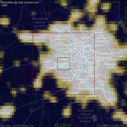
» NASA, Earths city lights 1995
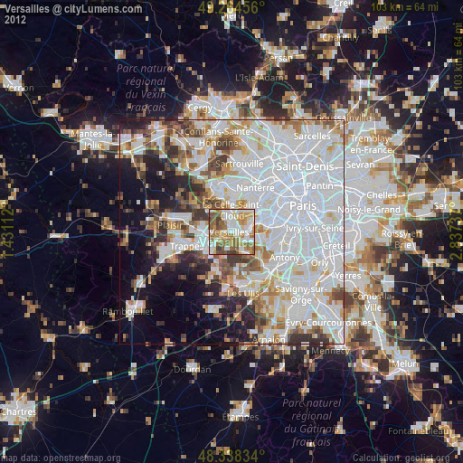
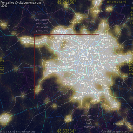
» NASA city lights 2003
» Earth at Night: Flat Maps 2012, 2016