Le Chesnay night lights from space
Night Light of Le Chesnay (Île-de-France) from space (France) Src. Average luminocity for 10x10km area is 79.4801% and for 50x50km: 64.8252%.
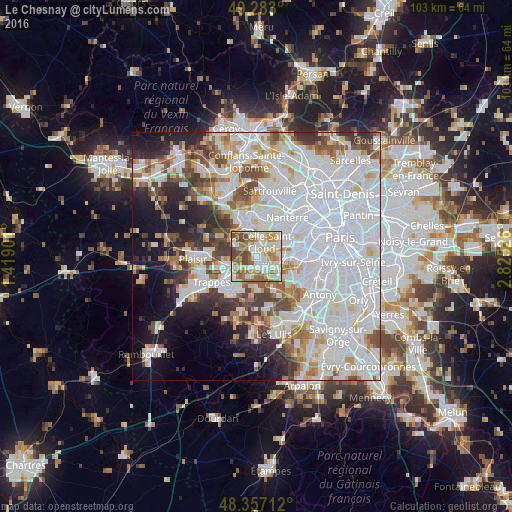
Analysis of Le Chesnay night lights 2016
Square area 10x10 km:
 18.75%
90-99
25.28%80-89
9.09%70-79
12.36%60-69
14.77%50-59
9.52%40-49
9.66%30-39
0.57%20-29
0%10-19
0%0-9
0%Square area 50x50 km:
28.88%90-99
16.02%80-89
4.94%70-79
4.64%60-69
5.08%50-59
4.34%40-49
5.44%30-39
4.43%20-29
5.79%10-19
8.98%0-9
11.46%Clear (daylight) street map image can be seen on geolist.org.
Map coordinates:
49° 16' 58.8" North, 1° 25' 8.4" East
48° 49' 19.9" North, 2° 7' 19.7" East
48° 21' 25.6" North, 2° 49' 30.9" East
Some cities around Le Chesnay sort by population:
• Versailles
2.3 km =1.4 mi,  156°
156°
• La Celle-Saint-Cloud
3.6 km =2.2 mi,  28°
28°
• Garches
4.9 km =3 mi,  63°
63°
• Saint-Cyr-l’École
4.7 km =2.9 mi,  236°
236°
• Viroflay
3.8 km =2.4 mi,  129°
129°
• Bougival
4.7 km =2.9 mi,  17°
17°
• Vaucresson
3.3 km =2.1 mi,  50°
50°
• Louveciennes
4.4 km =2.7 mi,  352°
352°
3004630 (p: 29,154)
Sources (retrieved 2019-11-25):
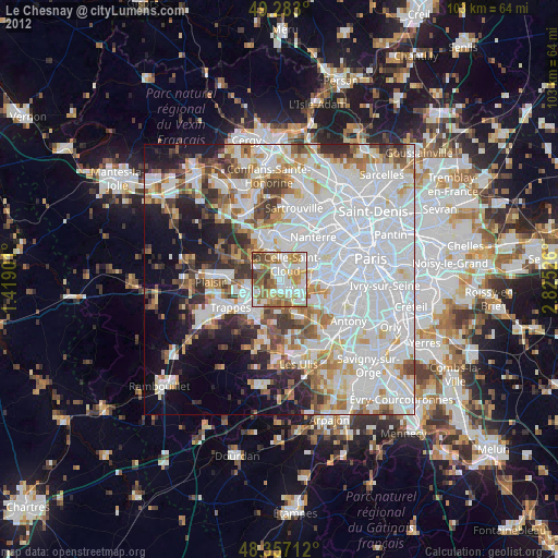
» Earth at Night: Flat Maps 2012, 2016