Sotteville-lès-Rouen night lights from space
Night Light of Sotteville-lès-Rouen (Normandy) from space (France) Src. Average luminocity for 10x10km area is 84.9826% and for 50x50km: 16.2232%.
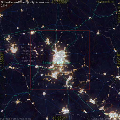
Analysis of Sotteville-lès-Rouen night lights 2016
Square area 10x10 km:
 44.52%
90-99
24.33%80-89
3.48%70-79
3.61%60-69
3.21%50-59
6.02%40-49
8.56%30-39
5.08%20-29
1.2%10-19
0%0-9
0%Square area 50x50 km:
3.58%90-99
3.08%80-89
1.05%70-79
1.43%60-69
1.55%50-59
1.96%40-49
2.26%30-39
2.93%20-29
4.56%10-19
9.1%0-9
68.5%Clear (daylight) street map image can be seen on geolist.org.
Map coordinates:
49° 51' 54.3" North, 0° 23' 12.9" East
49° 24' 35" North, 1° 5' 24.2" East
48° 57' 0.4" North, 1° 47' 35.4" East
Some cities around Sotteville-lès-Rouen sort by population:
• Rouen
3.8 km =2.4 mi,  10°
10°
• Saint-Étienne-du-Rouvray
3.7 km =2.3 mi,  163°
163°
• Le Grand-Quevilly
3.4 km =2.1 mi,  252°
252°
• Mont-Saint-Aignan
5.9 km =3.7 mi,  2°
2°
• Le Petit-Quevilly
2.1 km =1.3 mi,  281°
281°
• Darnétal
5.9 km =3.7 mi,  48°
48°
• Bihorel
5.5 km =3.4 mi,  25°
25°
• Le Mesnil-Esnard
4 km =2.5 mi,  84°
84°
2974153 (p: 30,619)
Sources (retrieved 2019-11-25):
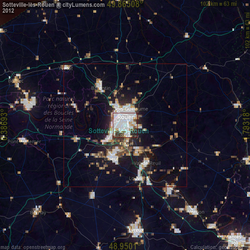
» Earth at Night: Flat Maps 2012, 2016