Le Mesnil-Esnard night lights from space
Night Light of Le Mesnil-Esnard (Normandy) from space (France) Src. Average luminocity for 10x10km area is 61.6123% and for 50x50km: 15.7395%.
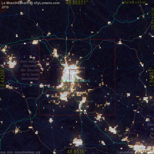
Analysis of Le Mesnil-Esnard night lights 2016
Square area 10x10 km:
 23.66%
90-99
17.91%80-89
2.67%70-79
4.14%60-69
4.01%50-59
5.35%40-49
5.08%30-39
8.82%20-29
8.82%10-19
12.17%0-9
7.35%Square area 50x50 km:
3.53%90-99
3%80-89
0.94%70-79
1.37%60-69
1.48%50-59
1.89%40-49
2.24%30-39
2.85%20-29
4.56%10-19
9.07%0-9
69.07%Clear (daylight) street map image can be seen on geolist.org.
Map coordinates:
49° 52' 6.6" North, 0° 26' 31.5" East
49° 24' 47.5" North, 1° 8' 42.8" East
48° 57' 13" North, 1° 50' 54" East
Some cities around Le Mesnil-Esnard sort by population:
• Rouen
4.7 km =2.9 mi,  315°
315°
• Sotteville-lès-Rouen
4 km =2.5 mi,  264°
264°
• Saint-Étienne-du-Rouvray
4.9 km =3 mi,  216°
216°
• Mont-Saint-Aignan
6.7 km =4.2 mi,  326°
326°
• Le Petit-Quevilly
6.1 km =3.8 mi,  270°
270°
• Bois-Guillaume
5.5 km =3.4 mi,  342°
342°
• Darnétal
3.6 km =2.2 mi,  7°
7°
• Bihorel
4.9 km =3 mi, 340°
3003391 (p: 6,380)
Sources (retrieved 2019-11-25):
» Earth at Night: Flat Maps 2012, 2016