Le Petit-Quevilly night lights from space
Night Light of Le Petit-Quevilly (Normandy) from space (France) Src. Average luminocity for 10x10km area is 82.2714% and for 50x50km: 16.2768%.
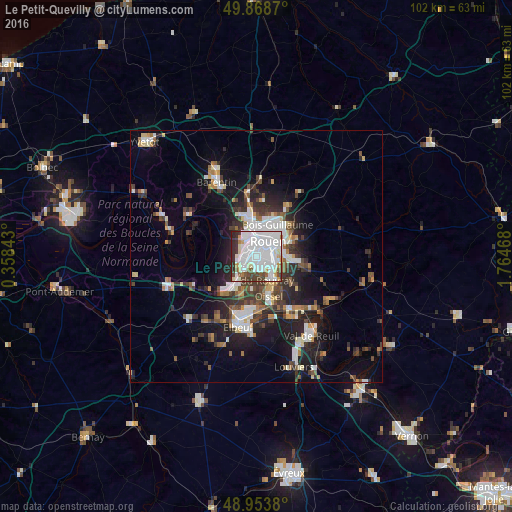
Analysis of Le Petit-Quevilly night lights 2016
Square area 10x10 km:
 43.45%
90-99
21.26%80-89
5.61%70-79
4.01%60-69
2.01%50-59
4.01%40-49
7.75%30-39
4.41%20-29
7.35%10-19
0.13%0-9
0%Square area 50x50 km:
3.59%90-99
3.08%80-89
1.09%70-79
1.41%60-69
1.55%50-59
1.94%40-49
2.27%30-39
2.93%20-29
4.62%10-19
9.1%0-9
68.42%Clear (daylight) street map image can be seen on geolist.org.
Map coordinates:
49° 52' 7.3" North, 0° 21' 30.3" East
49° 24' 48.2" North, 1° 3' 41.6" East
48° 57' 13.7" North, 1° 45' 52.8" East
Some cities around Le Petit-Quevilly sort by population:
• Rouen
4.3 km =2.7 mi,  39°
39°
• Sotteville-lès-Rouen
2.1 km =1.3 mi,  101°
101°
• Saint-Étienne-du-Rouvray
5 km =3.1 mi,  141°
141°
• Le Grand-Quevilly
1.8 km =1.1 mi,  219°
219°
• Mont-Saint-Aignan
6 km =3.7 mi,  22°
22°
• Canteleu
4 km =2.5 mi,  318°
318°
• Petit-Couronne
4.7 km =2.9 mi, 224°
• Le Mesnil-Esnard
6.1 km =3.8 mi,  90°
90°
3002880 (p: 22,691)
Sources (retrieved 2019-11-25):
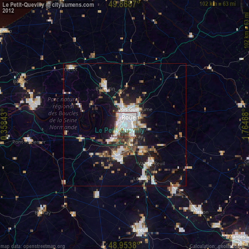
» Earth at Night: Flat Maps 2012, 2016