Mont-Saint-Aignan night lights from space
Night Light of Mont-Saint-Aignan (Normandy) from space (France) Src. Average luminocity for 10x10km area is 78.2157% and for 50x50km: 15.5606%.
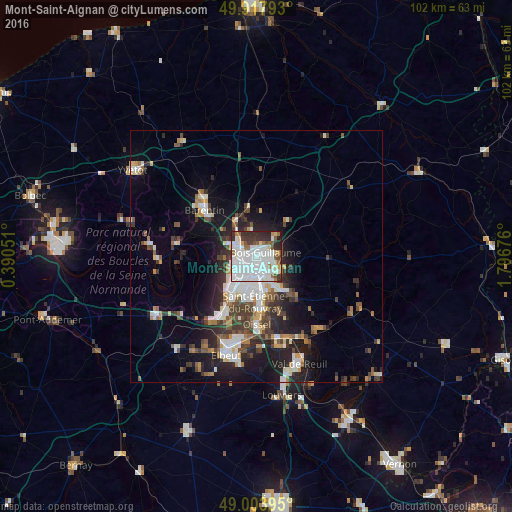
Analysis of Mont-Saint-Aignan night lights 2016
Square area 10x10 km:
 37.39%
90-99
23.11%80-89
3.78%70-79
1.96%60-69
4.9%50-59
6.58%40-49
3.08%30-39
8.96%20-29
9.1%10-19
1.12%0-9
0%Square area 50x50 km:
3.56%90-99
2.97%80-89
1.01%70-79
1.4%60-69
1.52%50-59
1.85%40-49
2.2%30-39
2.8%20-29
4.44%10-19
8.23%0-9
70.03%Clear (daylight) street map image can be seen on geolist.org.
Map coordinates:
49° 55' 4.5" North, 0° 23' 25.8" East
49° 27' 47.1" North, 1° 5' 37.1" East
49° 0' 14.2" North, 1° 47' 48.3" East
Some cities around Mont-Saint-Aignan sort by population:
• Rouen
2.3 km =1.4 mi,  169°
169°
• Canteleu
5.6 km =3.5 mi,  243°
243°
• Bois-Guillaume
2.1 km =1.3 mi,  98°
98°
• Maromme
5.4 km =3.4 mi,  289°
289°
• Déville-lès-Rouen
3.1 km =1.9 mi,  283°
283°
• Darnétal
4.6 km =2.9 mi,  115°
115°
• Bihorel
2.3 km =1.4 mi,  114°
114°
• Notre-Dame-de-Bondeville
3.9 km =2.4 mi,  305°
305°
2992003 (p: 23,078)
Sources (retrieved 2019-11-25):
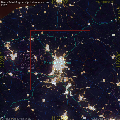
» Earth at Night: Flat Maps 2012, 2016