Le Grand-Quevilly night lights from space
Night Light of Le Grand-Quevilly (Normandy) from space (France) Src. Average luminocity for 10x10km area is 73.1765% and for 50x50km: 16.3153%.
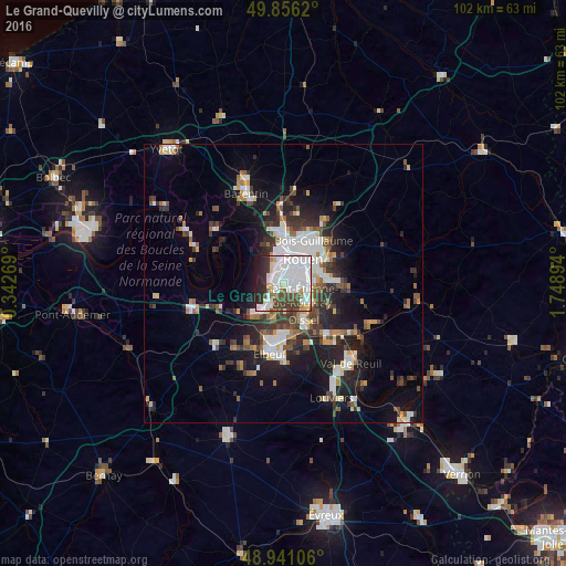
Analysis of Le Grand-Quevilly night lights 2016
Square area 10x10 km:
 35.56%
90-99
17.65%80-89
4.68%70-79
3.74%60-69
2.67%50-59
4.01%40-49
9.36%30-39
6.02%20-29
11.1%10-19
5.21%0-9
0%Square area 50x50 km:
3.59%90-99
3.11%80-89
1.12%70-79
1.39%60-69
1.52%50-59
1.95%40-49
2.25%30-39
2.93%20-29
4.62%10-19
9.22%0-9
68.31%Clear (daylight) street map image can be seen on geolist.org.
Map coordinates:
49° 51' 22.3" North, 0° 20' 33.7" East
49° 24' 2.7" North, 1° 2' 45" East
48° 56' 27.8" North, 1° 44' 56.2" East
Some cities around Le Grand-Quevilly sort by population:
• Rouen
6.1 km =3.8 mi,  39°
39°
• Sotteville-lès-Rouen
3.4 km =2.1 mi,  72°
72°
• Saint-Étienne-du-Rouvray
5 km =3.1 mi,  120°
120°
• Le Petit-Quevilly
1.8 km =1.1 mi, 39°
• Canteleu
4.7 km =2.9 mi,  340°
340°
• Grand-Couronne
5.8 km =3.6 mi,  209°
209°
• Petit-Couronne
2.9 km =1.8 mi,  227°
227°
• Le Mesnil-Esnard
7.3 km =4.5 mi,  79°
79°
3003952 (p: 26,522)
Sources (retrieved 2019-11-25):
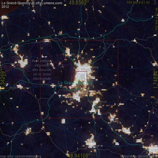
» Earth at Night: Flat Maps 2012, 2016