Rouen night lights from space
Night Light of Rouen (Normandy) from space (France) Src. Average luminocity for 10x10km area is 87.3193% and for 50x50km: 15.8041%.
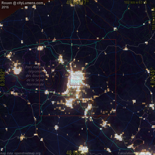
Analysis of Rouen night lights 2016
Square area 10x10 km:
 47.9%
47.9%90-99
26.05%80-89
3.22%70-79
2.38%60-69
5.18%50-59
5.32%40-49
2.66%30-39
3.36%20-29
3.22%10-19
0.7%0-9
0%Square area 50x50 km:
3.59%90-99
3.01%80-89
0.96%70-79
1.42%60-69
1.55%50-59
1.89%40-49
2.21%30-39
2.83%20-29
4.57%10-19
8.57%0-9
69.41%Clear (daylight) street map image can be seen on geolist.org.
Map coordinates:
49° 53' 53.4" North, 0° 23' 46.3" East
49° 26' 35.3" North, 1° 5' 57.6" East
48° 59' 1.8" North, 1° 48' 8.8" East
Some cities around Rouen sort by population:
• Sotteville-lès-Rouen
3.8 km =2.4 mi,  190°
190°
• Mont-Saint-Aignan
2.3 km =1.4 mi,  349°
349°
• Le Petit-Quevilly
4.3 km =2.7 mi,  219°
219°
• Bois-Guillaume
2.5 km =1.6 mi,  41°
41°
• Déville-lès-Rouen
4.5 km =2.8 mi,  310°
310°
• Darnétal
3.8 km =2.4 mi,  86°
86°
• Bihorel
2.1 km =1.3 mi,  52°
52°
• Le Mesnil-Esnard
4.7 km =2.9 mi,  135°
135°
2982652 (p: 112,787)
Sources (retrieved 2019-11-25):
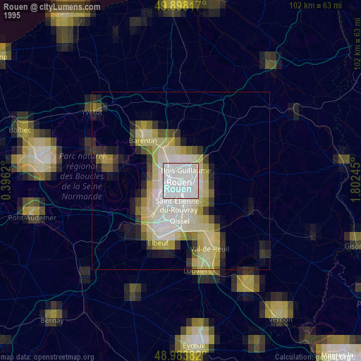
» NASA, Earths city lights 1995
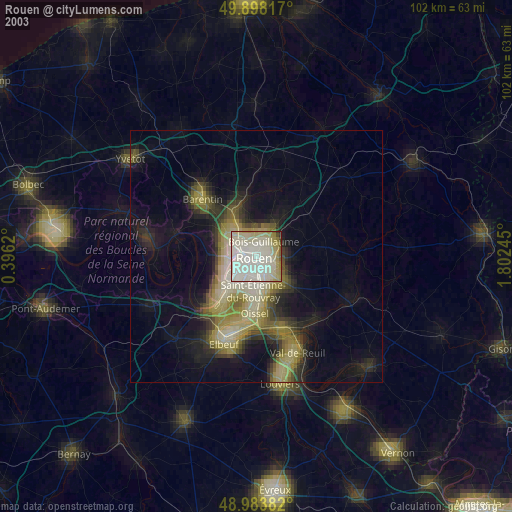
» NASA city lights 2003
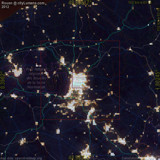
» Earth at Night: Flat Maps 2012, 2016