Saint-Priest night lights from space
Night Light of Saint-Priest (Auvergne-Rhône-Alpes) from space (France) Src. Average luminocity for 10x10km area is 87.3818% and for 50x50km: 37.0972%.
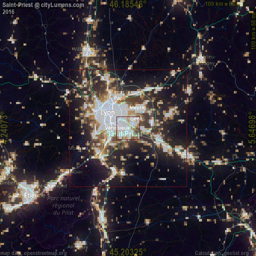
Analysis of Saint-Priest night lights 2016
Square area 10x10 km:
 38.94%
90-99
28.64%80-89
6.97%70-79
3.64%60-69
8.94%50-59
5.45%40-49
5.76%30-39
1.67%20-29
0%10-19
0%0-9
0%Square area 50x50 km:
9.05%90-99
7.62%80-89
2.77%70-79
3.69%60-69
3.96%50-59
4.81%40-49
4.77%30-39
5.95%20-29
11.51%10-19
17.5%0-9
28.38%Clear (daylight) street map image can be seen on geolist.org.
Map coordinates:
46° 11' 7.7" North, 4° 14' 26.6" East
45° 41' 47.4" North, 4° 56' 37.9" East
45° 12' 11.7" North, 5° 38' 49.1" East
Some cities around Saint-Priest sort by population:
• Vénissieux
4.5 km =2.8 mi,  270°
270°
• Bron
5.3 km =3.3 mi,  332°
332°
• Décines-Charpieu
8.1 km =5 mi,  8°
8°
• Genas
6 km =3.7 mi,  49°
49°
• Mions
3.8 km =2.4 mi,  169°
169°
• Corbas
4.5 km =2.8 mi,  225°
225°
• Feyzin
7.1 km =4.4 mi,  248°
248°
• Chassieu
5.9 km =3.7 mi,  20°
20°
2977356 (p: 41,641)
Sources (retrieved 2019-11-25):
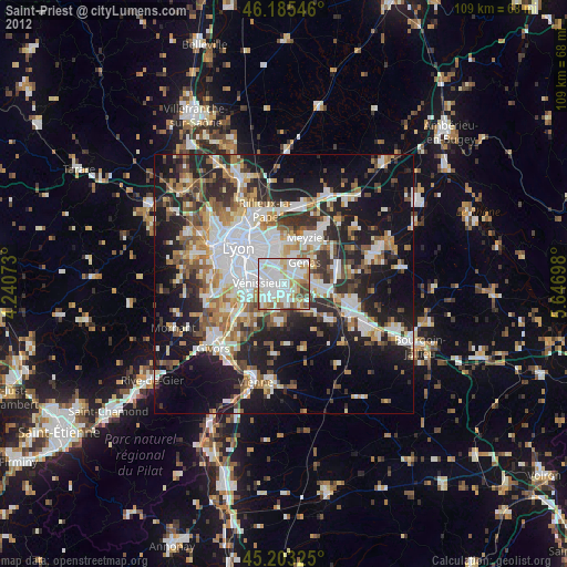
» Earth at Night: Flat Maps 2012, 2016