Bron night lights from space
Night Light of Bron (Auvergne-Rhône-Alpes) from space (France) Src. Average luminocity for 10x10km area is 96.5924% and for 50x50km: 37.2816%.
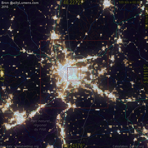
Analysis of Bron night lights 2016
Square area 10x10 km:
 63.64%
90-99
23.94%80-89
5.15%70-79
5.45%60-69
1.21%50-59
0.45%40-49
0.15%30-39
0%20-29
0%10-19
0%0-9
0%Square area 50x50 km:
9.01%90-99
7.49%80-89
2.9%70-79
3.72%60-69
4.09%50-59
4.98%40-49
5.11%30-39
6.19%20-29
11.71%10-19
15.93%0-9
28.88%Clear (daylight) street map image can be seen on geolist.org.
Map coordinates:
46° 13' 38" North, 4° 12' 35.6" East
45° 44' 19.1" North, 4° 54' 46.9" East
45° 14' 44.7" North, 5° 36' 58.1" East
Some cities around Bron sort by population:
• Lyon
5.3 km =3.3 mi,  281°
281°
• Villeurbanne
4 km =2.5 mi,  319°
319°
• Vénissieux
5.1 km =3.2 mi,  204°
204°
• Saint-Priest
5.3 km =3.3 mi,  152°
152°
• Vaulx-en-Velin
5.4 km =3.4 mi,  9°
9°
• Décines-Charpieu
4.9 km =3 mi,  46°
46°
• Saint-Fons
5.7 km =3.5 mi,  234°
234°
• Chassieu
4.6 km =2.9 mi,  79°
79°
3029931 (p: 37,825)
Sources (retrieved 2019-11-25):
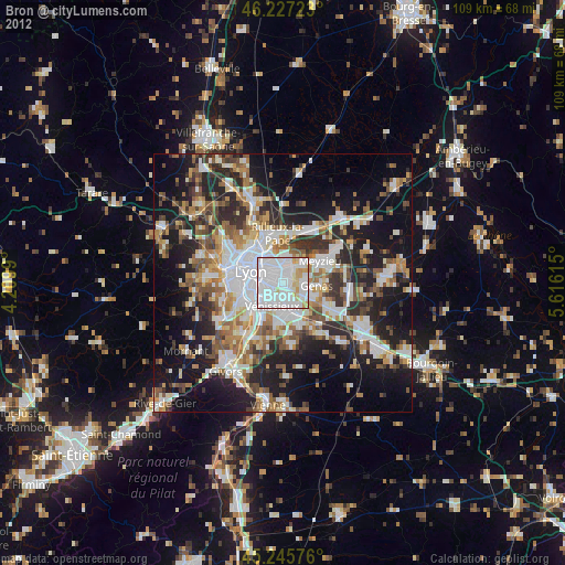
» Earth at Night: Flat Maps 2012, 2016