Décines-Charpieu night lights from space
Night Light of Décines-Charpieu (Auvergne-Rhône-Alpes) from space (France) Src. Average luminocity for 10x10km area is 78.6556% and for 50x50km: 38.214%.
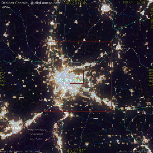
Analysis of Décines-Charpieu night lights 2016
Square area 10x10 km:
 31.75%
90-99
22.54%80-89
5.56%70-79
6.83%60-69
5.24%50-59
8.1%40-49
6.83%30-39
13.17%20-29
0%10-19
0%0-9
0%Square area 50x50 km:
9.38%90-99
7.66%80-89
2.86%70-79
3.87%60-69
4.19%50-59
5.04%40-49
5.04%30-39
6.24%20-29
12.28%10-19
16.81%0-9
26.64%Clear (daylight) street map image can be seen on geolist.org.
Map coordinates:
46° 15' 25.3" North, 4° 15' 20.6" East
45° 46' 7.4" North, 4° 57' 31.8" East
45° 16' 34" North, 5° 39' 43.1" East
Some cities around Décines-Charpieu sort by population:
• Villeurbanne
6.2 km =3.9 mi,  267°
267°
• Bron
4.9 km =3 mi,  226°
226°
• Vaulx-en-Velin
3.3 km =2.1 mi,  307°
307°
• Meyzieu
3.4 km =2.1 mi,  94°
94°
• Rillieux-la-Pape
7 km =4.3 mi,  319°
319°
• Genas
5.3 km =3.3 mi,  141°
141°
• Chassieu
2.7 km =1.7 mi,  159°
159°
• Miribel
6.4 km =4 mi,  356°
356°
3021662 (p: 24,674)
Sources (retrieved 2019-11-25):
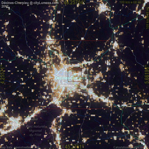
» Earth at Night: Flat Maps 2012, 2016