Vénissieux night lights from space
Night Light of Vénissieux (Auvergne-Rhône-Alpes) from space (France) Src. Average luminocity for 10x10km area is 93.1136% and for 50x50km: 36.5802%.
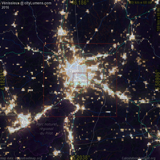
Analysis of Vénissieux night lights 2016
Square area 10x10 km:
 55.3%
55.3%90-99
25.76%80-89
5.15%70-79
3.64%60-69
3.64%50-59
2.73%40-49
3.79%30-39
0%20-29
0%10-19
0%0-9
0%Square area 50x50 km:
8.93%90-99
7.56%80-89
2.74%70-79
3.78%60-69
3.96%50-59
4.71%40-49
4.85%30-39
5.87%20-29
11.06%10-19
15.99%0-9
30.56%Clear (daylight) street map image can be seen on geolist.org.
Map coordinates:
46° 11' 9.6" North, 4° 10' 58.1" East
45° 41' 49.4" North, 4° 53' 9.3" East
45° 12' 13.7" North, 5° 35' 20.6" East
Some cities around Vénissieux sort by population:
• Saint-Priest
4.5 km =2.8 mi,  90°
90°
• Bron
5.1 km =3.2 mi,  24°
24°
• Saint-Fons
2.9 km =1.8 mi,  297°
297°
• Mions
6.4 km =4 mi,  126°
126°
• Pierre-Bénite
4.8 km =3 mi,  278°
278°
• Corbas
3.5 km =2.2 mi,  158°
158°
• Feyzin
3.4 km =2.1 mi,  217°
217°
• Irigny
5.6 km =3.5 mi,  241°
241°
2970072 (p: 57,584)
Sources (retrieved 2019-11-25):
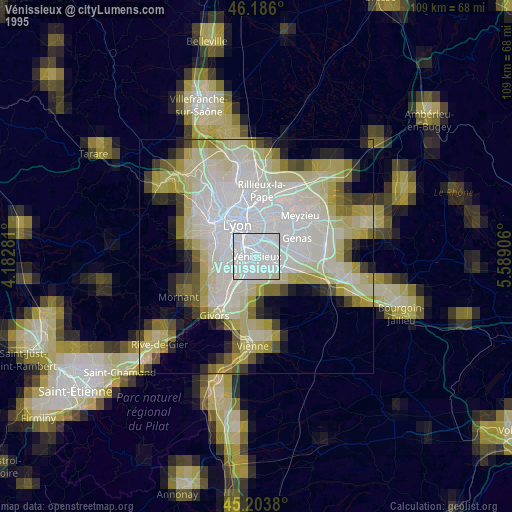
» NASA, Earths city lights 1995
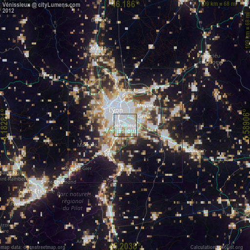
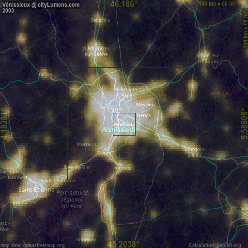
» NASA city lights 2003
» Earth at Night: Flat Maps 2012, 2016