Palaiseau night lights from space
Night Light of Palaiseau (Île-de-France) from space (France) Src. Average luminocity for 10x10km area is 85.6667% and for 50x50km: 62.0884%.
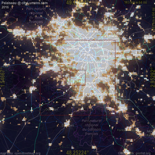
Analysis of Palaiseau night lights 2016
Square area 10x10 km:
 30.95%
90-99
29.02%80-89
6.99%70-79
8.93%60-69
12.8%50-59
4.76%40-49
6.55%30-39
0%20-29
0%10-19
0%0-9
0%Square area 50x50 km:
29.64%90-99
14.65%80-89
4.2%70-79
4.21%60-69
4.75%50-59
3.73%40-49
5.07%30-39
4.36%20-29
5.47%10-19
5.78%0-9
18.14%Clear (daylight) street map image can be seen on geolist.org.
Map coordinates:
49° 10' 48.1" North, 1° 32' 48" East
48° 43' 5.8" North, 2° 14' 59.3" East
48° 15' 8.1" North, 2° 57' 10.5" East
Some cities around Palaiseau sort by population:
• Antony
5.2 km =3.2 mi,  41°
41°
• Massy
2.6 km =1.6 mi,  68°
68°
• Longjumeau
5 km =3.1 mi,  121°
121°
• Chilly-Mazarin
4.9 km =3 mi,  94°
94°
• Verrières-le-Buisson
3.3 km =2.1 mi,  23°
23°
• Villebon-sur-Yvette
1.5 km =0.9 mi,  207°
207°
• Igny
3.5 km =2.2 mi,  327°
327°
• Saulx-les-Chartreux
3.3 km =2.1 mi,  157°
157°
2988758 (p: 31,987)
Sources (retrieved 2019-11-25):
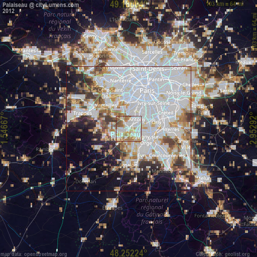
» Earth at Night: Flat Maps 2012, 2016