Massy night lights from space
Night Light of Massy (Île-de-France) from space (France) Src. Average luminocity for 10x10km area is 91.7173% and for 50x50km: 65.6561%.
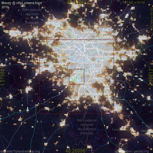
Analysis of Massy night lights 2016
Square area 10x10 km:
 37.95%
90-99
36.9%80-89
6.4%70-79
6.85%60-69
8.63%50-59
2.68%40-49
0.6%30-39
0%20-29
0%10-19
0%0-9
0%Square area 50x50 km:
31.2%90-99
15.89%80-89
4.39%70-79
4.43%60-69
5.12%50-59
3.98%40-49
5.39%30-39
4.87%20-29
5.31%10-19
4.95%0-9
14.47%Clear (daylight) street map image can be seen on geolist.org.
Map coordinates:
49° 11' 19" North, 1° 34' 47.6" East
48° 43' 36.9" North, 2° 16' 58.8" East
48° 15' 39.5" North, 2° 59' 10.1" East
Some cities around Massy sort by population:
• Antony
3.1 km =1.9 mi,  18°
18°
• Palaiseau
2.6 km =1.6 mi,  248°
248°
• Fresnes
4.3 km =2.7 mi,  42°
42°
• Longjumeau
4 km =2.5 mi,  153°
153°
• Chilly-Mazarin
2.8 km =1.7 mi,  118°
118°
• Verrières-le-Buisson
2.4 km =1.5 mi,  332°
332°
• Villebon-sur-Yvette
3.9 km =2.4 mi,  233°
233°
• Saulx-les-Chartreux
4.2 km =2.6 mi,  195°
195°
2995206 (p: 38,768)
Sources (retrieved 2019-11-25):
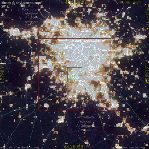
» Earth at Night: Flat Maps 2012, 2016