Villebon-sur-Yvette night lights from space
Night Light of Villebon-sur-Yvette (Île-de-France) from space (France) Src. Average luminocity for 10x10km area is 83.439% and for 50x50km: 59.1551%.
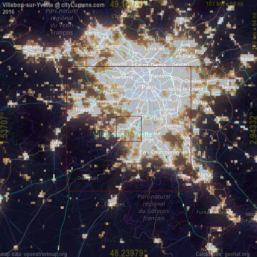
Analysis of Villebon-sur-Yvette night lights 2016
Square area 10x10 km:
 28.57%
90-99
26.79%80-89
7.59%70-79
10.27%60-69
11.9%50-59
5.06%40-49
8.78%30-39
0.89%20-29
0.15%10-19
0%0-9
0%Square area 50x50 km:
27.91%90-99
13.87%80-89
3.98%70-79
4.15%60-69
4.61%50-59
3.61%40-49
4.74%30-39
4.31%20-29
5.43%10-19
6.22%0-9
21.17%Clear (daylight) street map image can be seen on geolist.org.
Map coordinates:
49° 10' 4.1" North, 1° 32' 13.5" East
48° 42' 21.4" North, 2° 14' 24.7" East
48° 14' 23.2" North, 2° 56' 36" East
Some cities around Villebon-sur-Yvette sort by population:
• Massy
3.9 km =2.4 mi,  53°
53°
• Palaiseau
1.5 km =0.9 mi,  27°
27°
• Longjumeau
5.1 km =3.2 mi,  103°
103°
• Orsay
4 km =2.5 mi,  253°
253°
• Verrières-le-Buisson
4.9 km =3 mi,  24°
24°
• Bures-sur-Yvette
5.1 km =3.2 mi,  262°
262°
• Igny
4.4 km =2.7 mi,  344°
344°
• Saulx-les-Chartreux
2.6 km =1.6 mi,  130°
130°
2968861 (p: 9,983)
Sources (retrieved 2019-11-25):
» Earth at Night: Flat Maps 2012, 2016