Longjumeau night lights from space
Night Light of Longjumeau (Île-de-France) from space (France) Src. Average luminocity for 10x10km area is 93.7188% and for 50x50km: 61.2564%.
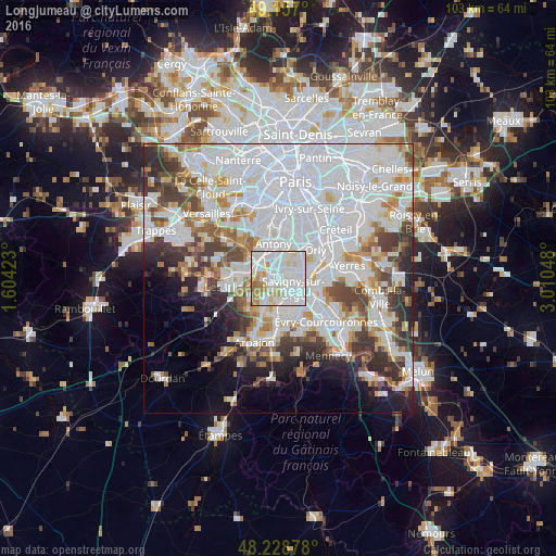
Analysis of Longjumeau night lights 2016
Square area 10x10 km:
 46.28%
90-99
31.4%80-89
8.63%70-79
7.89%60-69
5.06%50-59
0.74%40-49
0%30-39
0%20-29
0%10-19
0%0-9
0%Square area 50x50 km:
27.88%90-99
14.84%80-89
4.2%70-79
4.37%60-69
4.98%50-59
3.78%40-49
5.28%30-39
5.19%20-29
5.69%10-19
5.85%0-9
17.95%Clear (daylight) street map image can be seen on geolist.org.
Map coordinates:
49° 9' 25.2" North, 1° 36' 15.2" East
48° 41' 42.1" North, 2° 18' 26.5" East
48° 13' 43.6" North, 3° 0' 37.7" East
Some cities around Longjumeau sort by population:
• Savigny-sur-Orge
3.6 km =2.2 mi,  124°
124°
• Massy
4 km =2.5 mi,  333°
333°
• Chilly-Mazarin
2.3 km =1.4 mi,  16°
16°
• Morangis
2.5 km =1.6 mi,  67°
67°
• Épinay-sur-Orge
2.4 km =1.5 mi,  174°
174°
• Paray-Vieille-Poste
4.6 km =2.9 mi,  62°
62°
• Villemoisson-sur-Orge
3.8 km =2.4 mi,  146°
146°
• Saulx-les-Chartreux
3 km =1.9 mi,  260°
260°
2997712 (p: 20,771)
Sources (retrieved 2019-11-25):
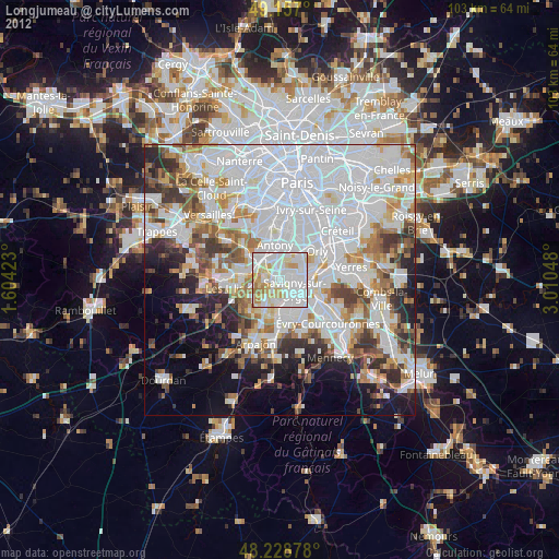
» Earth at Night: Flat Maps 2012, 2016