Livry-Gargan night lights from space
Night Light of Livry-Gargan (Île-de-France) from space (France) Src. Average luminocity for 10x10km area is 97.527% and for 50x50km: 60.8551%.
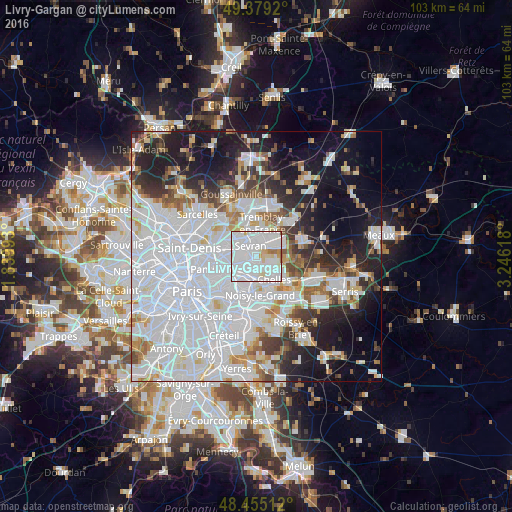
Analysis of Livry-Gargan night lights 2016
Square area 10x10 km:
 66.05%
90-99
24.72%80-89
5.82%70-79
1.28%60-69
2.13%50-59
0%40-49
0%30-39
0%20-29
0%10-19
0%0-9
0%Square area 50x50 km:
29.92%90-99
13.64%80-89
3.71%70-79
3.24%60-69
4.02%50-59
3.66%40-49
3.49%30-39
4.52%20-29
7.54%10-19
14.13%0-9
12.13%Clear (daylight) street map image can be seen on geolist.org.
Map coordinates:
49° 22' 45.1" North, 1° 50' 23.7" East
48° 55' 9.5" North, 2° 32' 35" East
48° 27' 18.4" North, 3° 14' 46.2" East
Some cities around Livry-Gargan sort by population:
• Sevran
3 km =1.9 mi,  338°
338°
• Gagny
4.1 km =2.5 mi,  190°
190°
• Tremblay-en-France
3.8 km =2.4 mi,  28°
28°
• Clichy-sous-Bois
1.3 km =0.8 mi,  143°
143°
• Montfermeil
3.5 km =2.2 mi,  131°
131°
• Les Pavillons-sous-Bois
3 km =1.9 mi,  242°
242°
• Le Raincy
2.7 km =1.7 mi,  213°
213°
• Vaujours
2.4 km =1.5 mi,  59°
59°
2998056 (p: 39,518)
Sources (retrieved 2019-11-25):
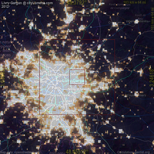
» Earth at Night: Flat Maps 2012, 2016