Sevran night lights from space
Night Light of Sevran (Île-de-France) from space (France) Src. Average luminocity for 10x10km area is 94.5696% and for 50x50km: 60.0409%.
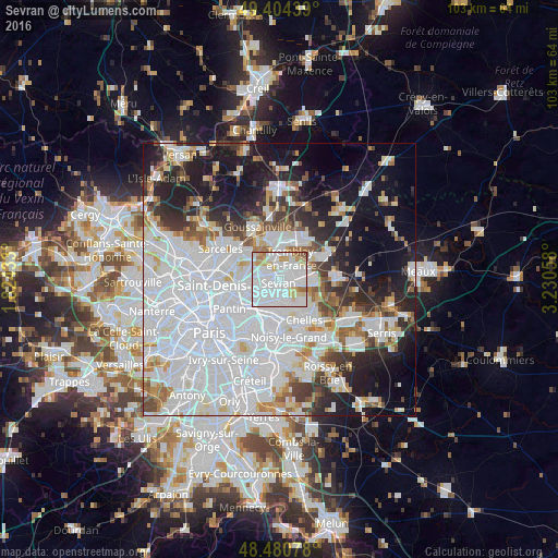
Analysis of Sevran night lights 2016
Square area 10x10 km:
 58.66%
90-99
21.31%80-89
9.23%70-79
4.97%60-69
4.26%50-59
0.71%40-49
0.85%30-39
0%20-29
0%10-19
0%0-9
0%Square area 50x50 km:
29.27%90-99
13.04%80-89
3.79%70-79
3.38%60-69
4.12%50-59
3.68%40-49
3.65%30-39
4.64%20-29
7.55%10-19
14.62%0-9
12.26%Clear (daylight) street map image can be seen on geolist.org.
Map coordinates:
49° 24' 15.8" North, 1° 49' 27.6" East
48° 56' 41" North, 2° 31' 38.9" East
48° 28' 50.8" North, 3° 13' 50.1" East
Some cities around Sevran sort by population:
• Aulnay-sous-Bois
2.5 km =1.6 mi,  253°
253°
• Le Blanc-Mesnil
4.9 km =3 mi,  262°
262°
• Livry-Gargan
3 km =1.9 mi,  158°
158°
• Villepinte
2 km =1.2 mi,  10°
10°
• Tremblay-en-France
3 km =1.9 mi,  79°
79°
• Clichy-sous-Bois
4.3 km =2.7 mi,  153°
153°
• Les Pavillons-sous-Bois
4.5 km =2.8 mi,  199°
199°
• Vaujours
3.6 km =2.2 mi,  116°
116°
2974681 (p: 47,334)
Sources (retrieved 2019-11-25):
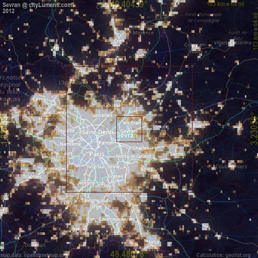
» Earth at Night: Flat Maps 2012, 2016