Clichy-sous-Bois night lights from space
Night Light of Clichy-sous-Bois (Île-de-France) from space (France) Src. Average luminocity for 10x10km area is 96.7486% and for 50x50km: 60.6059%.
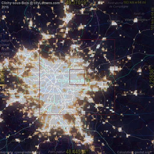
Analysis of Clichy-sous-Bois night lights 2016
Square area 10x10 km:
 62.78%
90-99
26.28%80-89
5.82%70-79
1.28%60-69
2.84%50-59
0.99%40-49
0%30-39
0%20-29
0%10-19
0%0-9
0%Square area 50x50 km:
29.8%90-99
13.63%80-89
3.64%70-79
3.21%60-69
4.01%50-59
3.68%40-49
3.48%30-39
4.45%20-29
7.56%10-19
13.78%0-9
12.75%Clear (daylight) street map image can be seen on geolist.org.
Map coordinates:
49° 22' 12.7" North, 1° 51' 0.4" East
48° 54' 36.7" North, 2° 33' 11.6" East
48° 26' 45.4" North, 3° 15' 22.9" East
Some cities around Clichy-sous-Bois sort by population:
• Chelles
4.3 km =2.7 mi,  138°
138°
• Livry-Gargan
1.3 km =0.8 mi,  323°
323°
• Gagny
3.3 km =2.1 mi,  205°
205°
• Montfermeil
2.3 km =1.4 mi,  125°
125°
• Les Pavillons-sous-Bois
3.4 km =2.1 mi,  263°
263°
• Le Raincy
2.5 km =1.6 mi,  240°
240°
• Courtry
3.9 km =2.4 mi,  75°
75°
• Vaujours
2.6 km =1.6 mi,  30°
30°
3024596 (p: 29,062)
Sources (retrieved 2019-11-25):
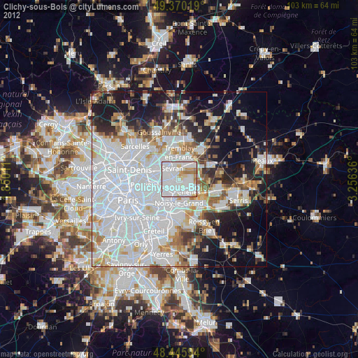
» Earth at Night: Flat Maps 2012, 2016