Montfermeil night lights from space
Night Light of Montfermeil (Île-de-France) from space (France) Src. Average luminocity for 10x10km area is 91.6804% and for 50x50km: 58.8826%.
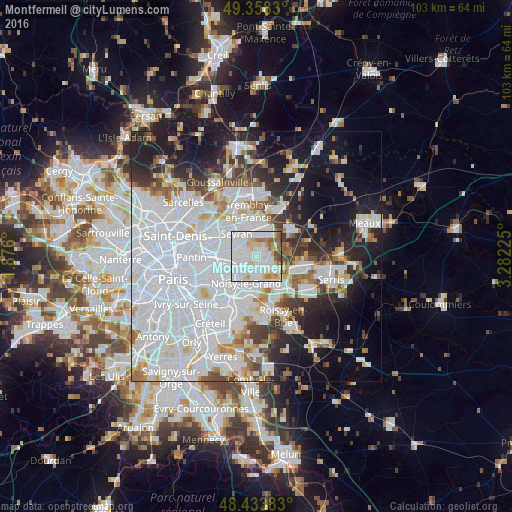
Analysis of Montfermeil night lights 2016
Square area 10x10 km:
 44.89%
90-99
29.55%80-89
8.52%70-79
4.69%60-69
5.82%50-59
4.83%40-49
1.7%30-39
0%20-29
0%10-19
0%0-9
0%Square area 50x50 km:
28.94%90-99
13.21%80-89
3.42%70-79
2.96%60-69
3.92%50-59
3.68%40-49
3.64%30-39
4.26%20-29
7.46%10-19
13.48%0-9
15.05%Clear (daylight) street map image can be seen on geolist.org.
Map coordinates:
49° 21' 29.9" North, 1° 52' 33.6" East
48° 53' 53.5" North, 2° 34' 44.9" East
48° 26' 1.8" North, 3° 16' 56.1" East
Some cities around Montfermeil sort by population:
• Chelles
2.2 km =1.4 mi,  152°
152°
• Livry-Gargan
3.5 km =2.2 mi,  311°
311°
• Gagny
3.7 km =2.3 mi,  243°
243°
• Clichy-sous-Bois
2.3 km =1.4 mi, 305°
• Le Raincy
4.1 km =2.5 mi,  271°
271°
• Courtry
3 km =1.9 mi,  38°
38°
• Gournay-sur-Marne
4 km =2.5 mi,  174°
174°
• Vaujours
3.6 km =2.2 mi,  350°
350°
2992616 (p: 23,829)
Sources (retrieved 2019-11-25):
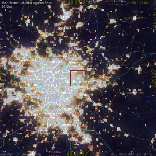
» Earth at Night: Flat Maps 2012, 2016