Tremblay-en-France night lights from space
Night Light of Tremblay-en-France (Île-de-France) from space (France) Src. Average luminocity for 10x10km area is 88.8281% and for 50x50km: 55.9499%.
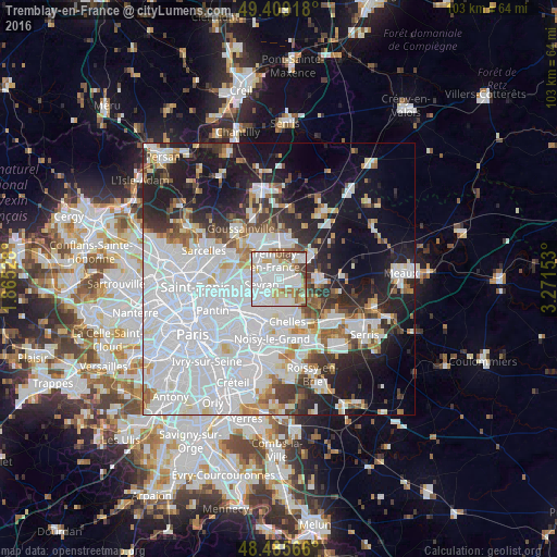
Analysis of Tremblay-en-France night lights 2016
Square area 10x10 km:
 44.03%
90-99
24.57%80-89
8.38%70-79
5.68%60-69
6.39%50-59
5.82%40-49
4.26%30-39
0.85%20-29
0%10-19
0%0-9
0%Square area 50x50 km:
27.28%90-99
11.87%80-89
3.39%70-79
3%60-69
3.71%50-59
3.47%40-49
3.43%30-39
4.51%20-29
7.65%10-19
15.14%0-9
16.54%Clear (daylight) street map image can be seen on geolist.org.
Map coordinates:
49° 24' 33" North, 1° 51' 55" East
48° 56' 58.4" North, 2° 34' 6.2" East
48° 29' 8.4" North, 3° 16' 17.5" East
Some cities around Tremblay-en-France sort by population:
• Sevran
3 km =1.9 mi,  259°
259°
• Livry-Gargan
3.8 km =2.4 mi,  208°
208°
• Villepinte
3 km =1.9 mi,  297°
297°
• Clichy-sous-Bois
4.5 km =2.8 mi,  194°
194°
• Villeparisis
3.5 km =2.2 mi,  103°
103°
• Mitry-Mory
5.1 km =3.2 mi,  43°
43°
• Courtry
4.3 km =2.7 mi,  142°
142°
• Vaujours
2.2 km =1.4 mi,  174°
174°
2971874 (p: 35,591)
Sources (retrieved 2019-11-25):
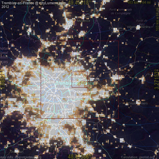
» Earth at Night: Flat Maps 2012, 2016