Gagny night lights from space
Night Light of Gagny (Île-de-France) from space (France) Src. Average luminocity for 10x10km area is 98.2997% and for 50x50km: 64.5138%.
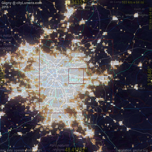
Analysis of Gagny night lights 2016
Square area 10x10 km:
 71.02%
90-99
22.02%80-89
5.4%70-79
0.85%60-69
0.71%50-59
0%40-49
0%30-39
0%20-29
0%10-19
0%0-9
0%Square area 50x50 km:
31.68%90-99
14.8%80-89
3.94%70-79
3.69%60-69
4.53%50-59
3.91%40-49
4.18%30-39
4.58%20-29
6.85%10-19
11.53%0-9
10.3%Clear (daylight) street map image can be seen on geolist.org.
Map coordinates:
49° 20' 36.9" North, 1° 49' 48.8" East
48° 52' 60" North, 2° 31' 60" East
48° 25' 7.8" North, 3° 14' 11.3" East
Some cities around Gagny sort by population:
• Rosny-sous-Bois
2.9 km =1.8 mi,  239°
239°
• Neuilly-sur-Marne
3.5 km =2.2 mi,  160°
160°
• Clichy-sous-Bois
3.3 km =2.1 mi,  25°
25°
• Villemomble
2.4 km =1.5 mi,  270°
270°
• Montfermeil
3.7 km =2.3 mi,  63°
63°
• Les Pavillons-sous-Bois
3.3 km =2.1 mi,  323°
323°
• Neuilly-Plaisance
3 km =1.9 mi,  222°
222°
• Le Raincy
1.9 km =1.2 mi,  336°
336°
3016830 (p: 38,134)
Sources (retrieved 2019-11-25):
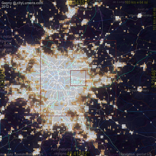
» Earth at Night: Flat Maps 2012, 2016