La Courneuve night lights from space
Night Light of La Courneuve (Île-de-France) from space (France) Src. Average luminocity for 10x10km area is 98.8537% and for 50x50km: 70.0508%.
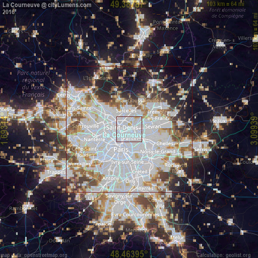
Analysis of La Courneuve night lights 2016
Square area 10x10 km:
 83.38%
90-99
11.51%80-89
3.55%70-79
1.56%60-69
0%50-59
0%40-49
0%30-39
0%20-29
0%10-19
0%0-9
0%Square area 50x50 km:
33.1%90-99
16.94%80-89
4.92%70-79
4.48%60-69
5.35%50-59
4.65%40-49
4.6%30-39
4.86%20-29
6.46%10-19
10.57%0-9
4.08%Clear (daylight) street map image can be seen on geolist.org.
Map coordinates:
49° 23' 16.3" North, 1° 41' 35.3" East
48° 55' 41" North, 2° 23' 46.6" East
48° 27' 50.2" North, 3° 5' 57.8" East
Some cities around La Courneuve sort by population:
• Saint-Denis
3.2 km =2 mi,  285°
285°
• Aubervilliers
1.6 km =1 mi,  216°
216°
• Drancy
3.6 km =2.2 mi,  94°
94°
• Pantin
3.9 km =2.4 mi,  165°
165°
• Garges-lès-Gonesse
4.4 km =2.7 mi,  1°
1°
• Stains
2.6 km =1.6 mi,  338°
338°
• Le Bourget
3 km =1.9 mi,  77°
77°
• Dugny
3.2 km =2 mi,  28°
28°
3009824 (p: 37,287)
Sources (retrieved 2019-11-25):
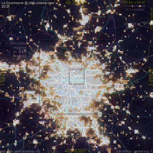
» Earth at Night: Flat Maps 2012, 2016