Le Bourget night lights from space
Night Light of Le Bourget (Île-de-France) from space (France) Src. Average luminocity for 10x10km area is 97.5909% and for 50x50km: 66.7764%.
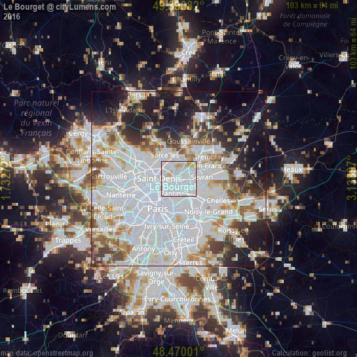
Analysis of Le Bourget night lights 2016
Square area 10x10 km:
 72.3%
72.3%90-99
17.47%80-89
5.68%70-79
3.41%60-69
1.14%50-59
0%40-49
0%30-39
0%20-29
0%10-19
0%0-9
0%Square area 50x50 km:
31.91%90-99
15.7%80-89
4.53%70-79
4.1%60-69
4.82%50-59
4.26%40-49
4.23%30-39
4.82%20-29
6.95%10-19
12.49%0-9
6.2%Clear (daylight) street map image can be seen on geolist.org.
Map coordinates:
49° 23' 37.8" North, 1° 43' 57.8" East
48° 56' 2.6" North, 2° 26' 9" East
48° 28' 12" North, 3° 8' 20.3" East
Some cities around Le Bourget sort by population:
• Aulnay-sous-Bois
4.3 km =2.7 mi,  83°
83°
• Aubervilliers
4.3 km =2.7 mi,  243°
243°
• Drancy
1.2 km =0.7 mi,  142°
142°
• Le Blanc-Mesnil
1.9 km =1.2 mi,  74°
74°
• Bobigny
2.9 km =1.8 mi,  158°
158°
• La Courneuve
3 km =1.9 mi,  257°
257°
• Stains
4.2 km =2.6 mi,  294°
294°
• Dugny
2.6 km =1.6 mi,  328°
328°
3005082 (p: 12,690)
Sources (retrieved 2019-11-25):
» Earth at Night: Flat Maps 2012, 2016