Aubervilliers night lights from space
Night Light of Aubervilliers (Île-de-France) from space (France) Src. Average luminocity for 10x10km area is 99.456% and for 50x50km: 72.018%.
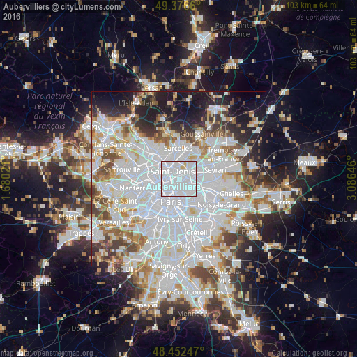
Analysis of Aubervilliers night lights 2016
Square area 10x10 km:
 90.48%
90-99
6.96%80-89
2.56%70-79
0%60-69
0%50-59
0%40-49
0%30-39
0%20-29
0%10-19
0%0-9
0%Square area 50x50 km:
33.96%90-99
17.63%80-89
5.11%70-79
4.74%60-69
5.49%50-59
4.73%40-49
4.8%30-39
5.09%20-29
6.39%10-19
9.29%0-9
2.76%Clear (daylight) street map image can be seen on geolist.org.
Map coordinates:
49° 22' 35.8" North, 1° 40' 48.8" East
48° 55' 0" North, 2° 22' 60" East
48° 27' 8.9" North, 3° 5' 11.3" East
Some cities around Aubervilliers sort by population:
• Saint-Denis
3 km =1.9 mi,  314°
314°
• Drancy
4.6 km =2.9 mi,  77°
77°
• Pantin
3.1 km =1.9 mi,  142°
142°
• Saint-Ouen
3.8 km =2.4 mi,  252°
252°
• La Courneuve
1.6 km =1 mi,  36°
36°
• Stains
3.7 km =2.3 mi,  0°
0°
• Le Pré-Saint-Gervais
3.8 km =2.4 mi,  156°
156°
• Le Bourget
4.3 km =2.7 mi,  63°
63°
3036386 (p: 70,914)
Sources (retrieved 2019-11-25):
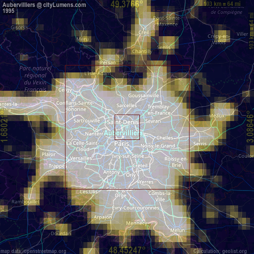
» NASA, Earths city lights 1995
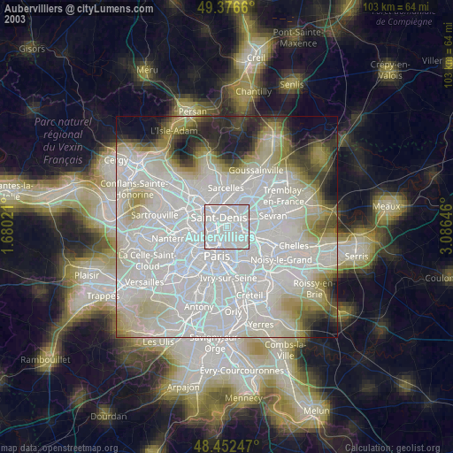
» NASA city lights 2003
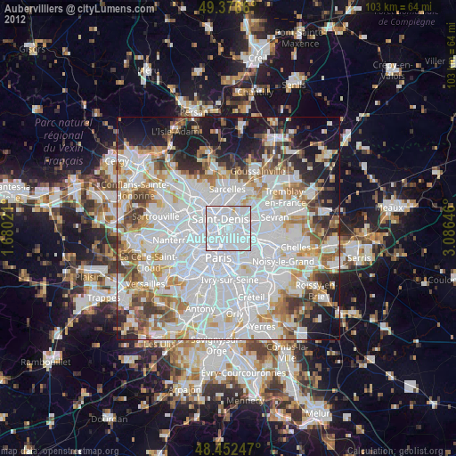
» Earth at Night: Flat Maps 2012, 2016