Drancy night lights from space
Night Light of Drancy (Île-de-France) from space (France) Src. Average luminocity for 10x10km area is 98.1491% and for 50x50km: 67.2335%.
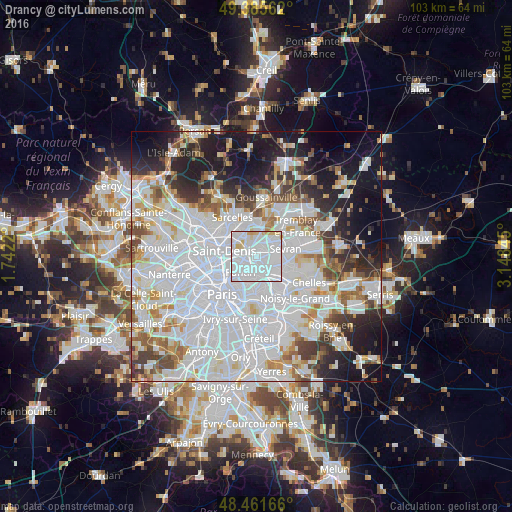
Analysis of Drancy night lights 2016
Square area 10x10 km:
 78.13%
90-99
13.35%80-89
5.11%70-79
3.41%60-69
0%50-59
0%40-49
0%30-39
0%20-29
0%10-19
0%0-9
0%Square area 50x50 km:
32.2%90-99
15.96%80-89
4.57%70-79
4.16%60-69
4.75%50-59
4.21%40-49
3.99%30-39
4.83%20-29
6.95%10-19
12.57%0-9
5.81%Clear (daylight) street map image can be seen on geolist.org.
Map coordinates:
49° 23' 8.2" North, 1° 44' 31.9" East
48° 55' 32.8" North, 2° 26' 43.2" East
48° 27' 42" North, 3° 8' 54.4" East
Some cities around Drancy sort by population:
• Aulnay-sous-Bois
3.8 km =2.4 mi,  68°
68°
• Bondy
4.2 km =2.6 mi,  129°
129°
• Le Blanc-Mesnil
1.9 km =1.2 mi,  39°
39°
• Bobigny
1.8 km =1.1 mi,  168°
168°
• Noisy-le-Sec
4.1 km =2.5 mi,  159°
159°
• La Courneuve
3.6 km =2.2 mi,  274°
274°
• Le Bourget
1.2 km =0.7 mi,  322°
322°
• Dugny
3.7 km =2.3 mi,  326°
326°
3020839 (p: 62,488)
Sources (retrieved 2019-11-25):
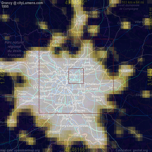
» NASA, Earths city lights 1995
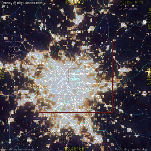
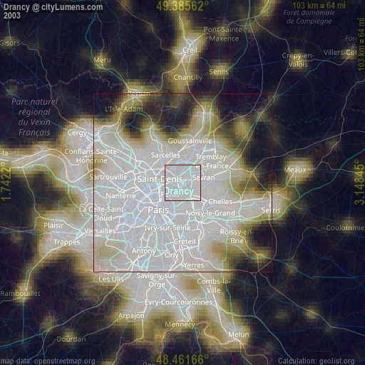
» NASA city lights 2003
» Earth at Night: Flat Maps 2012, 2016