Pantin night lights from space
Night Light of Pantin (Île-de-France) from space (France) Src. Average luminocity for 10x10km area is 99.9176% and for 50x50km: 72.6894%.
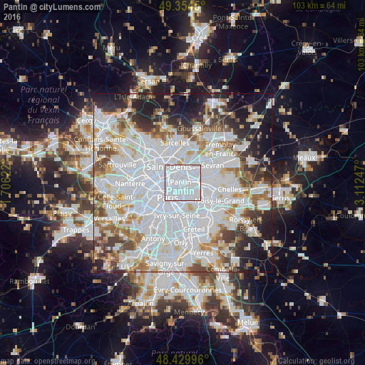
Analysis of Pantin night lights 2016
Square area 10x10 km:
 93.04%
90-99
6.96%80-89
0%70-79
0%60-69
0%50-59
0%40-49
0%30-39
0%20-29
0%10-19
0%0-9
0%Square area 50x50 km:
34.43%90-99
17.78%80-89
4.91%70-79
4.77%60-69
5.74%50-59
4.84%40-49
5.03%30-39
4.77%20-29
6.61%10-19
8.95%0-9
2.17%Clear (daylight) street map image can be seen on geolist.org.
Map coordinates:
49° 21' 16.2" North, 1° 42' 22.4" East
48° 53' 39.7" North, 2° 24' 33.7" East
48° 25' 47.9" North, 3° 6' 44.9" East
Some cities around Pantin sort by population:
• Aubervilliers
3.1 km =1.9 mi,  322°
322°
• Bobigny
3.4 km =2.1 mi,  60°
60°
• Noisy-le-Sec
4 km =2.5 mi,  94°
94°
• La Courneuve
3.9 km =2.4 mi,  345°
345°
• Bagnolet
3.1 km =1.9 mi,  170°
170°
• Romainville
2.1 km =1.3 mi,  118°
118°
• Les Lilas
1.8 km =1.1 mi,  152°
152°
• Le Pré-Saint-Gervais
1.1 km =0.7 mi,  200°
200°
2988621 (p: 52,922)
Sources (retrieved 2019-11-25):
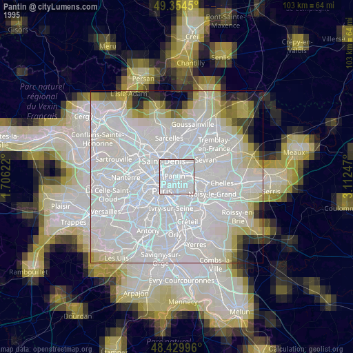
» NASA, Earths city lights 1995
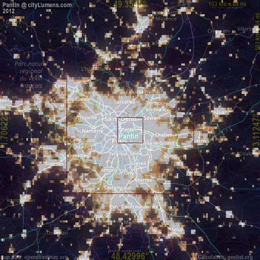
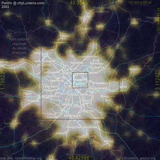
» NASA city lights 2003
» Earth at Night: Flat Maps 2012, 2016