Saint-Denis night lights from space
Night Light of Saint-Denis (Île-de-France) from space (France) Src. Average luminocity for 10x10km area is 99.4716% and for 50x50km: 70.609%.
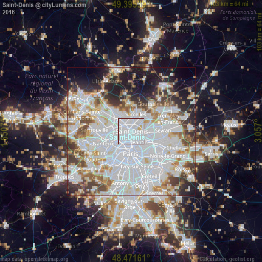
Analysis of Saint-Denis night lights 2016
Square area 10x10 km:
 86.08%
90-99
11.65%80-89
2.27%70-79
0%60-69
0%50-59
0%40-49
0%30-39
0%20-29
0%10-19
0%0-9
0%Square area 50x50 km:
33.14%90-99
17.01%80-89
5.23%70-79
4.48%60-69
5.5%50-59
4.68%40-49
5.1%30-39
5.26%20-29
6.22%10-19
8.94%0-9
4.44%Clear (daylight) street map image can be seen on geolist.org.
Map coordinates:
49° 23' 43.4" North, 1° 39' 2.7" East
48° 56' 8.3" North, 2° 21' 13.9" East
48° 28' 17.8" North, 3° 3' 25.2" East
Some cities around Saint-Denis sort by population:
• Aubervilliers
3 km =1.9 mi,  134°
134°
• Épinay-sur-Seine
3.5 km =2.2 mi,  305°
305°
• Gennevilliers
3.9 km =2.4 mi,  266°
266°
• La Courneuve
3.2 km =2 mi,  105°
105°
• Stains
2.7 km =1.7 mi,  53°
53°
• Pierrefitte-sur-Seine
3.5 km =2.2 mi,  8°
8°
• Villeneuve-la-Garenne
2.9 km =1.8 mi,  278°
278°
• Villetaneuse
2.7 km =1.7 mi,  340°
340°
2980916 (p: 96,128)
Sources (retrieved 2019-11-25):
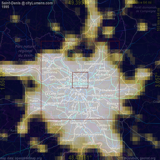
» NASA, Earths city lights 1995
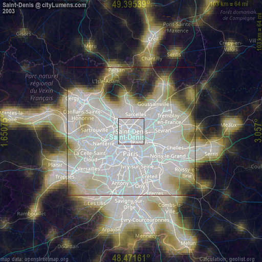
» NASA city lights 2003
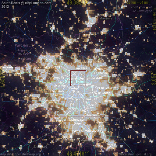
» Earth at Night: Flat Maps 2012, 2016