Stains night lights from space
Night Light of Stains (Île-de-France) from space (France) Src. Average luminocity for 10x10km area is 98.4787% and for 50x50km: 68.2227%.
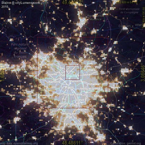
Analysis of Stains night lights 2016
Square area 10x10 km:
 73.44%
90-99
20.31%80-89
4.12%70-79
2.13%60-69
0%50-59
0%40-49
0%30-39
0%20-29
0%10-19
0%0-9
0%Square area 50x50 km:
32.22%90-99
16.06%80-89
4.78%70-79
4.54%60-69
5.19%50-59
4.54%40-49
4.67%30-39
5.06%20-29
6.41%10-19
10.59%0-9
5.94%Clear (daylight) street map image can be seen on geolist.org.
Map coordinates:
49° 24' 34.6" North, 1° 40' 48.8" East
48° 57' 0" North, 2° 22' 60" East
48° 29' 10" North, 3° 5' 11.3" East
Some cities around Stains sort by population:
• Saint-Denis
2.7 km =1.7 mi,  233°
233°
• Aubervilliers
3.7 km =2.3 mi,  180°
180°
• Garges-lès-Gonesse
2.3 km =1.4 mi,  27°
27°
• La Courneuve
2.6 km =1.6 mi,  158°
158°
• Pierrefitte-sur-Seine
2.5 km =1.6 mi,  319°
319°
• Montmagny
3.7 km =2.3 mi,  314°
314°
• Villetaneuse
3.2 km =2 mi,  286°
286°
• Dugny
2.5 km =1.6 mi,  80°
80°
2973841 (p: 32,601)
Sources (retrieved 2019-11-25):
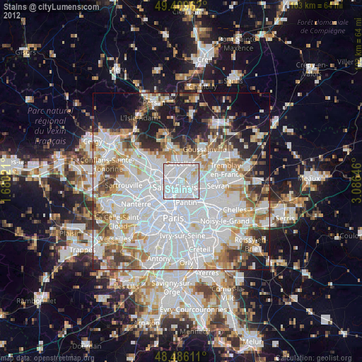
» Earth at Night: Flat Maps 2012, 2016