Garges-lès-Gonesse night lights from space
Night Light of Garges-lès-Gonesse (Île-de-France) from space (France) Src. Average luminocity for 10x10km area is 94.4702% and for 50x50km: 65.0156%.
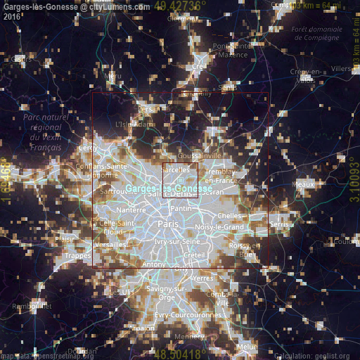
Analysis of Garges-lès-Gonesse night lights 2016
Square area 10x10 km:
 56.68%
90-99
26.85%80-89
4.83%70-79
4.26%60-69
3.13%50-59
2.27%40-49
1.99%30-39
0%20-29
0%10-19
0%0-9
0%Square area 50x50 km:
31.01%90-99
14.92%80-89
4.32%70-79
4.13%60-69
4.93%50-59
4.46%40-49
4.14%30-39
4.55%20-29
6.72%10-19
12.29%0-9
8.53%Clear (daylight) street map image can be seen on geolist.org.
Map coordinates:
49° 25' 38.5" North, 1° 41' 40.8" East
48° 58' 4.5" North, 2° 23' 52.1" East
48° 30' 15" North, 3° 6' 3.3" East
Some cities around Garges-lès-Gonesse sort by population:
• Sarcelles
3.6 km =2.2 mi,  336°
336°
• Stains
2.3 km =1.4 mi,  207°
207°
• Pierrefitte-sur-Seine
2.7 km =1.7 mi,  267°
267°
• Montmagny
3.8 km =2.4 mi,  279°
279°
• Arnouville
2.2 km =1.4 mi,  38°
38°
• Villetaneuse
4.2 km =2.6 mi,  255°
255°
• Dugny
2.1 km =1.3 mi,  137°
137°
• Groslay
4.2 km =2.6 mi,  298°
298°
3016621 (p: 39,847)
Sources (retrieved 2019-11-25):
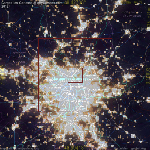
» Earth at Night: Flat Maps 2012, 2016